The National Geologic Map Database is migrating to a new infrastructure. We apologize for any service disruptions during this process.
|
|---|


- Usage in publication:
-
- Chicopee shale*
- Modifications:
-
- Named
- Dominant lithology:
-
- Shale
- AAPG geologic province:
-
- Hartford basin
- New England province
Summary:
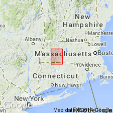
In the central part of the basin the Chicopee Shale forms a band of thin gray shale or shaly sandstone with impression of salt and gypsum crystals and nodules of concretionary limestone. It is partly contemporaneous with the Mount Toby Conglomerate, Sugarloaf Sandstone, and Longmeadow Sandstone. Extends from Holyoke south, and appears at the mouth of the Chicopee River and in the bed of the Connecticut River at Mittineague, and in beds of brooks at Agawam, MA, and Thompsonville, CT. Age is Late Triassic.
Source: GNU records (USGS DDS-6; Reston GNULEX).
- Usage in publication:
-
- Chicopee shale
- Modifications:
-
- Not used
- AAPG geologic province:
-
- Hartford basin
- New England province
Summary:
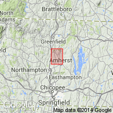
Chicopee Shale as mapped by Emerson (1917) in the Greenfield and Mount Toby quadrangles is renamed Turners Falls Sandstone as it cannot be traced into the area from its type area.
Source: GNU records (USGS DDS-6; Reston GNULEX).
- Usage in publication:
-
- Chicopee Shale†
- Modifications:
-
- Abandoned
- AAPG geologic province:
-
- Hartford basin
- New England province
Summary:
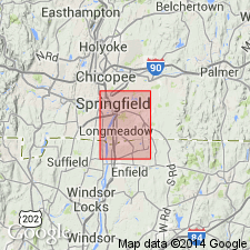
The name Chicopee Shale is abandoned and its rocks are assigned to the Portland Arkose. Shaly beds mapped by Emerson (1917) as Chicopee Shale at Agawam and Thompsonville are finer grained facies of the Portland than are exposed in the eastern part of the quadrangle.
Source: GNU records (USGS DDS-6; Reston GNULEX).
For more information, please contact Nancy Stamm, Geologic Names Committee Secretary.
Asterisk (*) indicates published by U.S. Geological Survey authors.
"No current usage" (†) implies that a name has been abandoned or has fallen into disuse. Former usage and, if known, replacement name given in parentheses ( ).
Slash (/) indicates name conflicts with nomenclatural guidelines (CSN, 1933; ACSN, 1961, 1970; NACSN, 1983, 2005, 2021). May be explained within brackets ([ ]).