- Usage in publication:
-
- Chickasha formation
- Modifications:
-
- Named
- Dominant lithology:
-
- Sandstone
- Shale
- AAPG geologic province:
-
- Anadarko basin
- Palo Duro basin
- South Oklahoma folded belt
Summary:
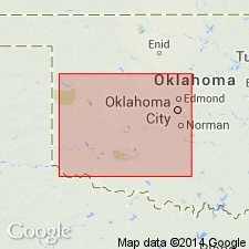
Named for Chickasha, Grady Co, OK which is built on this unit; no type locality designated. Consists of sandstones and shales occupying same stratigraphic horizon, but varying considerably in lithologic character from place to place. Near southeastern end of Anadarko basin, Chickasha is composed of about 175 ft of variegated sandstones and shales. Local name "purple sandstone" is used by area geologists. "Purple sandstone" is divided into: a) an upper, purple sandstone member 70-80 ft thick, upper 30 ft of which is chiefly loose pink sand with many thin purple lenses of purple "mudstone conglomerates"; lower portion is 40-50 ft of heavy purple "mudstone conglomerate" beds separated by thin pink sand strata; b) a middle uncemented pink sand member, 50 ft thick; and c) a lower, purple sandstone member composed chiefly of "mudstone conglomerates," 50 ft thick, more distinctly stratified than rest of "purple sandstone." North from head of Anadarko basin, Chickasha rocks gradually change to brick-red shales which characterize upper part of Enid [formation]. Chickasha is present in Grady, McClain, Garvin, Stephens, Comanche, Caddo, Kiowa, Greer, and Jackson Cos [Chautauqua platform, Anadarko and Palo Duro basins, and S. Oklahoma folded belt province]. Overlies Duncan sandstone (new); underlies Blaine formation. Duncan and Chickasha are probably stratigraphic equivalents of upper part of Enid. Geologic map. Permian.
Source: GNU records (USGS DDS-6; Denver GNULEX).

- Usage in publication:
-
- Chickasha formation
- Modifications:
-
- Revised
- AAPG geologic province:
-
- Anadarko basin
Summary:
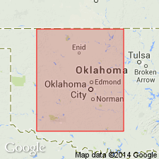
Revised as uppermost formation (of 6) of Enid group (raised in rank). Occurs in northern OK in the Anadarko basin. Consists chiefly of gypsiferous red clay-shales and thin sandstones with the clays in predominance. The clays contain many bands or streaks of white and light-green clay varying in thickness from a few inches to several ft. Characterized by abundance of "polka dot" balls or concretions of white and green clay. Upper part has much satinspar, selenite, or concretions of gypsum. Overlies Duncan sandstone of Enid group; underlies Blaine gypsum. Geologic map of north-central OK. Stratigraphic table. Of Permian age.
Source: GNU records (USGS DDS-6; Denver GNULEX).
For more information, please contact Nancy Stamm, Geologic Names Committee Secretary.
Asterisk (*) indicates published by U.S. Geological Survey authors.
"No current usage" (†) implies that a name has been abandoned or has fallen into disuse. Former usage and, if known, replacement name given in parentheses ( ).
Slash (/) indicates name conflicts with nomenclatural guidelines (CSN, 1933; ACSN, 1961, 1970; NACSN, 1983, 2005, 2021). May be explained within brackets ([ ]).

