The National Geologic Map Database is migrating to a new infrastructure. We apologize for any service disruptions during this process.
|
|---|


- Usage in publication:
-
- Chickahominy formation*
- Modifications:
-
- Original reference
- Dominant lithology:
-
- Clay
- AAPG geologic province:
-
- Atlantic Coast basin
Summary:
Pg. 2-3. Chickahominy formation. Proposed for beds approximately 80 feet thick that consist of blue, gray, and dull-brown clays containing fauna of Jackson age. Overlain by Miocene Chesapeake group; underlain by lower and middle Eocene Pamunkey group. Age is late Eocene.
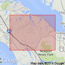
Type locality (subsurface): Wells 2 and 4, Navy Mine Depot, Yorktown, York Co., southeastern VA.
Source: US geologic names lexicon (USGS Bull. 1200, p. 758).
- Usage in publication:
-
- Chickahominy Formation*
- Modifications:
-
- Revised
- AAPG geologic province:
-
- Atlantic Coast basin
Summary:
Chickahominy Formation assigned as youngest member of Pamunkey Group. Formation was first recognized in subsurface of VA by Cushman and Cedarstrom (1945), but it was recognized on the basis of upper Eocene foraminifers. Their lithic description provided little evidence to distinguish it from underlying glauconitic Pamunkey beds. Chickahominy is not known to crop out along Pamunkey River or elsewhere in Coastal Plain. Therefore, it is not treated in detail in this report. Correlation chart shows it as late Eocene (Jacksonian) age and correlative with Harleyville Formation of Cooper Group in SC, Dry Branch Formation in GA, and part of Ocala Limestone in FL. Also shows queried presence in MD.
Source: GNU records (USGS DDS-6; Reston GNULEX).

- Usage in publication:
-
- Chickahominy Formation
- Modifications:
-
- Overview
- AAPG geologic province:
-
- Atlantic Coast basin
Summary:
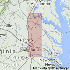
Paleocene and Eocene Pamunkey Group and its formations--Brightseat, Aquia, Marlboro, Nanjemoy, Piney Point and Chickahominy--mapped together with Old Church Formation and lower Oligocene beds as undifferentiated lower Tertiary deposits. Units are discussed in text. Chickahominy Formation is predominantly olive-gray clayey silt and silty clay, very compact, glauconitic, and micaceous. Contains abundant finely crystalline iron sulfide. Coarsens downward to a very fine- to fine-grained sand with pebbles at base. Contains rare fragmental shell. Microfossils very abundant. Present in subsurface of southeastern VA. Thickness ranges from 0 to 100 ft.
Source: GNU records (USGS DDS-6; Reston GNULEX).
For more information, please contact Nancy Stamm, Geologic Names Committee Secretary.
Asterisk (*) indicates published by U.S. Geological Survey authors.
"No current usage" (†) implies that a name has been abandoned or has fallen into disuse. Former usage and, if known, replacement name given in parentheses ( ).
Slash (/) indicates name conflicts with nomenclatural guidelines (CSN, 1933; ACSN, 1961, 1970; NACSN, 1983, 2005, 2021). May be explained within brackets ([ ]).