

- Usage in publication:
-
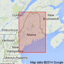
- Chesuncook Limestone
- Modifications:
-
- Overview
- AAPG geologic province:
-
- New England province
Summary:
Chesuncook Limestone shown on correlation chart as Silurian (late Llandovery and Wenlock age). Overlain by unnamed Silurian (Ludlow) siltstones; underlain by unnamed Silurian (Llandovery) conglomerates. Upper and lower boundaries uncertain.
Source: GNU records (USGS DDS-6; Reston GNULEX).
For more information, please contact Nancy Stamm, Geologic Names Committee Secretary.
Asterisk (*) indicates published by U.S. Geological Survey authors.
"No current usage" (†) implies that a name has been abandoned or has fallen into disuse. Former usage and, if known, replacement name given in parentheses ( ).
Slash (/) indicates name conflicts with nomenclatural guidelines (CSN, 1933; ACSN, 1961, 1970; NACSN, 1983, 2005, 2021). May be explained within brackets ([ ]).