

- Usage in publication:
-
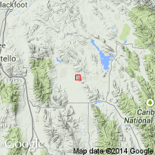
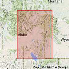
- Chesterfield Range Group*
- Modifications:
-
- Named
- Dominant lithology:
-
- Limestone
- Sandstone
- Siltstone
- AAPG geologic province:
-
- Snake River basin
Summary:
Named for the Chesterfield Range, Bannock Co., ID in the Snake River basin. Divided into Little Flat Formation (new) at base and Monroe Canyon Limestone (new) at top. The Chesterfield Range and its Little Flat and Monroe Canyon Formations are replacement terms for Brazer Limestone in this area. Is a 1,900 ft predominantly limestone and sandstone sequence that overlies Lodgepole Limestone and underlies Wells Formation. Contains coral and brachiopod fossils of Meramec and Chester age. Assigned to the Late Mississippian.
Source: GNU records (USGS DDS-6; Denver GNULEX).
- Usage in publication:
-
- Chesterfield Range Group*
- Modifications:
-
- Age modified
- AAPG geologic province:
-
- Wasatch uplift
Summary:
Age of the Chesterfield Range Group is Early and Late Mississippian based on the modified age of Early and Late Mississippian for the Little Flat Formation.
Source: GNU records (USGS DDS-6; Menlo GNULEX).
For more information, please contact Nancy Stamm, Geologic Names Committee Secretary.
Asterisk (*) indicates published by U.S. Geological Survey authors.
"No current usage" (†) implies that a name has been abandoned or has fallen into disuse. Former usage and, if known, replacement name given in parentheses ( ).
Slash (/) indicates name conflicts with nomenclatural guidelines (CSN, 1933; ACSN, 1961, 1970; NACSN, 1983, 2005, 2021). May be explained within brackets ([ ]).