

- Usage in publication:
-
- Cheney Gulch granite*
- Modifications:
-
- Named
- Dominant lithology:
-
- Granite
- AAPG geologic province:
-
- Southwestern Basin-and-Range region
Summary:
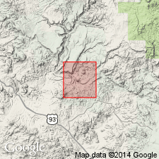
Named for exposures along west bank of Cheney Gulch, tributary of Mineral Creek, south-central part of Bagdad area, Yavapai Co, AZ, Southwestern Basin-and-Range region. Largest outcrops lie in a belt 1 mi long and nearly one-half mi wide in upper part of Mineral Creek basin. Smaller outcrops occur near Bridle Creek and between Waters and Crosby Peaks. Intrudes Hillside mica schist (new) of Yavapai series. Is intruded by dikes of aplite-pegmatite, limiting age of intrusion to interval between Lawler Peak granite (new) and the aplite-pegmatite. Some small bodies appear to be intruded by Lawler Peak, suggesting two stages of intrusion. Composed of fine- to medium-grained granite with a hypidiomorphic granular texture with sodic plagioclase, abundant quartz, and ragged biotite crystals. Of pre-Cambrian age. Geologic map.
Source: GNU records (USGS DDS-6; Denver GNULEX).
For more information, please contact Nancy Stamm, Geologic Names Committee Secretary.
Asterisk (*) indicates published by U.S. Geological Survey authors.
"No current usage" (†) implies that a name has been abandoned or has fallen into disuse. Former usage and, if known, replacement name given in parentheses ( ).
Slash (/) indicates name conflicts with nomenclatural guidelines (CSN, 1933; ACSN, 1961, 1970; NACSN, 1983, 2005, 2021). May be explained within brackets ([ ]).