- Usage in publication:
-
- Chapman Ridge sandstone*
- Modifications:
-
- Named
- Dominant lithology:
-
- Sandstone
- Shale
- AAPG geologic province:
-
- Appalachian basin
Summary:
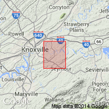
Named for Chapman Ridge, Knoxville quad, Knox Co., eastern TN. Named for strata in Knoxville area previously assigned to Tellico sandstone. Renaming needed because sandstone now included in Chapman Ridge sandstone does not correlate with Tellico sandstone at its type locality. Includes all strata below lower tongue of Ottosee shale, or, where that unit is missing, between Holston "marble" through to contact of sandstone with the shale and limestone beds of Ottosee. Consists of calcareous sandstone interbedded with shale and silty shale. Thickness is 700 to 900 ft. Age is Middle Ordovician.
Source: GNU records (USGS DDS-6; Reston GNULEX).
For more information, please contact Nancy Stamm, Geologic Names Committee Secretary.
Asterisk (*) indicates published by U.S. Geological Survey authors.
"No current usage" (†) implies that a name has been abandoned or has fallen into disuse. Former usage and, if known, replacement name given in parentheses ( ).
Slash (/) indicates name conflicts with nomenclatural guidelines (CSN, 1933; ACSN, 1961, 1970; NACSN, 1983, 2005, 2021). May be explained within brackets ([ ]).

