The National Geologic Map Database is migrating to a new infrastructure. We apologize for any service disruptions during this process.
|
|---|


- Usage in publication:
-
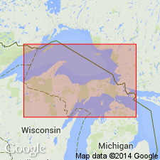
- Chapel Rock member
- Modifications:
-
- Named
- Dominant lithology:
-
- Sandstone
- AAPG geologic province:
-
- Michigan basin
Summary:
Named as member of Munising formation. Named for Chapel Rocks near eastern end of Pictured Cliffs, Alger Co., MI, along southern coast of Lake Superior. Consists of well-sorted, medium-grained sandstone characterized by large-scale cross-bedding. Contains varying amounts of scattered pebbles near base of section. Thickness ranges from 40 to 60 ft along Pictured Rocks and throughout most of Alger Co. Thins gradually eastward. Underlies Miners Castle member (new); overlies Jacobsville sandstone. Age is Late Cambrian.
Source: GNU records (USGS DDS-6; Reston GNULEX).
For more information, please contact Nancy Stamm, Geologic Names Committee Secretary.
Asterisk (*) indicates published by U.S. Geological Survey authors.
"No current usage" (†) implies that a name has been abandoned or has fallen into disuse. Former usage and, if known, replacement name given in parentheses ( ).
Slash (/) indicates name conflicts with nomenclatural guidelines (CSN, 1933; ACSN, 1961, 1970; NACSN, 1983, 2005, 2021). May be explained within brackets ([ ]).