The National Geologic Map Database is migrating to a new infrastructure. We apologize for any service disruptions during this process.
|
|---|


- Usage in publication:
-
- Chandler Ridge Formation
- Modifications:
-
- Named
- Dominant lithology:
-
- Slate
- Graywacke
- Siltstone
- Quartzite
- AAPG geologic province:
-
- New England province
Summary:
Named as a formation in Meduxnekeag Group (rank raised). Formerly called slate and graywacke member of Meduxnekeag Formation in Pavlides (1962, 1965). Consists of a lenticular deposit of slate, graywacke, conglomeratic graywacke, and minor amounts of siltstone and quartzite. Thickness about 5,000 feet. Lower contact not exposed; conformably overlain by a thinned sequence of Ordovician and Silurian Carys Mills Formation (new) of Meduxnekeag Group. Because Carys Mills Formation in vicinity of Chandler Ridge is thin and its precise age in this area is not known, underlying Chandler Ridge Formation is provisionally considered to be of Ordovician(?) age.
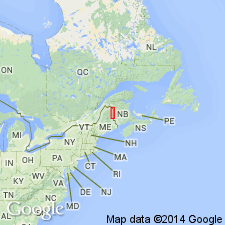
Named for Chandler Ridge, Aroostook Co., northern ME.
Source: GNU records (USGS DDS-6; Reston GNULEX).
For more information, please contact Nancy Stamm, Geologic Names Committee Secretary.
Asterisk (*) indicates published by U.S. Geological Survey authors.
"No current usage" (†) implies that a name has been abandoned or has fallen into disuse. Former usage and, if known, replacement name given in parentheses ( ).
Slash (/) indicates name conflicts with nomenclatural guidelines (CSN, 1933; ACSN, 1961, 1970; NACSN, 1983, 2005, 2021). May be explained within brackets ([ ]).