The National Geologic Map Database is migrating to a new infrastructure. We apologize for any service disruptions during this process.
|
|---|


- Usage in publication:
-
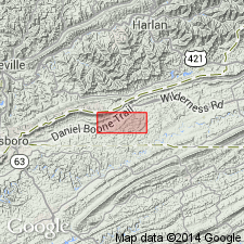
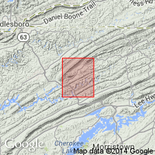
- Chances Branch dolomite member*
- Modifications:
-
- Named
- Dominant lithology:
-
- Dolomite
- AAPG geologic province:
-
- Appalachian basin
Summary:
Named the Chances Branch dolomite member of the Maynardville limestone for Chances Branch in western part of Rose Hill district, Lee Co., VA. Consists of gray, fine-crystalline laminated dolomite with interbedded mottles limestone near base and interbedded dark coarse-crystalline dolomite near top. Thickness is 142 to 172 feet. Overlies Low Hollow limestone member of the Maynardville and underlies the Copper Ridge dolomite. The Chances Branch is of Late Cambrian age.
Source: GNU records (USGS DDS-6; Reston GNULEX).
- Usage in publication:
-
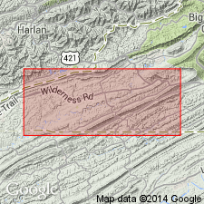
- Chances Branch dolomite member*
- Modifications:
-
- Principal reference
- AAPG geologic province:
-
- Appalachian basin
Summary:
Geographically extended the Chances Branch dolomite member of the Maynardville limestone to eastern TN and designated the type section in the Rose Hill district of Lee Co., VA; exposed in roadcut a few hundred feet east of Chances Branch and just south of Smith Chapel. Also exposed along Low Hollow, and along Fourmile Creek both north and south of Fourmile fenster and south of VA-TN State line.
Forms approximately the upper half of Maynardville limestone. Dominant rock type is light-gray, fine-grained dolomite in even beds 1 to 3 ft thick. Lower part of member is silty, weathers light gray to nearly white with parallel, closely spaced, indistinct laminations. In lower part of member, fine-grained dolomite interbeds with darker, fine-grained limestone of Low Hollow member, and upper part of fine-grained dolomite is interbedded with medium-crystalline, dark dolomite typical of lower part of overlying Copper Ridge dolomite. Upper contact of Chances Branch member is drawn at horizon above which darker medium-crystalline dolomite exceeds lighter fine-grained dolomite in existence. Crops out in numerous places just south of Wallen Valley fault, and in southern part of area mapped as undivided Maynardville just south of Town Branch fenster. Jonesville district has no well-exposed section of Chances Branch. Measured section occurs in Rose Hill district, but is similar to what is found in Jonesville district. Chances Branch member is between 100 and 200 ft thick. Age is Late Cambrian.
Source: GNU records (USGS DDS-6; Reston GNULEX).
- Usage in publication:
-
- Chances Branch Dolomite Member*
- Modifications:
-
- Overview
- AAPG geologic province:
-
- Appalachian basin
Summary:
The Chances Branch Dolomite Member of the Maynardville Formation in northeastern TN consists of dark gray, light gray weathering, very finely crystalline, even bedded dolomite with olive black, oolitic chert nodules in the upper part. Algal stromatolites are common. Thickness is 155 feet. Overlies the Low Hollow Limestone Member of the Maynardville and underlies the Copper Ridge Dolomite. The Chances Branch is of Late Cambrian age.
Source: GNU records (USGS DDS-6; Reston GNULEX).
For more information, please contact Nancy Stamm, Geologic Names Committee Secretary.
Asterisk (*) indicates published by U.S. Geological Survey authors.
"No current usage" (†) implies that a name has been abandoned or has fallen into disuse. Former usage and, if known, replacement name given in parentheses ( ).
Slash (/) indicates name conflicts with nomenclatural guidelines (CSN, 1933; ACSN, 1961, 1970; NACSN, 1983, 2005, 2021). May be explained within brackets ([ ]).