- Usage in publication:
-
- Chalk Butte Formation
- Modifications:
-
- Named
- Dominant lithology:
-
- Conglomerate
- Sandstone
- Siltstone
- AAPG geologic province:
-
- Snake River basin
Summary:
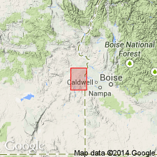
Type locality designated at SE/4 sec.22 T20S R45E, Mitchell Butte 30' quad, Malheur Co, eastern OR. Named as uppermost formation in Idaho Group. Covers most of northern half of quad, large part of eastern margin, and continues north and east into main part of Snake River plains in ID. Consists of loosely consolidated tuffaceous conglomerate, sandstone, and siltstone of lacustrine or fluviatile origin with lesser amounts of ash and fresh-water limestone, and occasional interbedded basalt flows. Partial section at type is 538 ft thick. Unconformably overlies Grassy Mountain Basalt in northern part of quad; along eastern margin overlies with marked angular unconformity westward dipping Sucker Creek Formation and Owyhee Basalt. Unconformably underlies igneous rocks of Pliocene(?) age. Age is middle Pliocene based on vertebrate fauna of Hemphillian age identified by J.A. Shotwell.
Source: GNU records (USGS DDS-6; Menlo GNULEX).
For more information, please contact Nancy Stamm, Geologic Names Committee Secretary.
Asterisk (*) indicates published by U.S. Geological Survey authors.
"No current usage" (†) implies that a name has been abandoned or has fallen into disuse. Former usage and, if known, replacement name given in parentheses ( ).
Slash (/) indicates name conflicts with nomenclatural guidelines (CSN, 1933; ACSN, 1961, 1970; NACSN, 1983, 2005, 2021). May be explained within brackets ([ ]).

