- Usage in publication:
-
- Chalk Bluff formation
- Modifications:
-
- Original reference
- Dominant lithology:
-
- Anhydrite
- Sandstone
- Redbeds
- Limestone
- AAPG geologic province:
-
- Permian basin
Summary:
Chalk Bluff formation. Comprises all sediments lying between San Andres limestone (below) and Salado halite (above). Consists of anhydrite, dolomitic anhydrite, sandstones, red beds, and dolomitic limestones. Contains numerous beds of greenish bentonite, some 5 feet or more thick. Is essentially a back-reef formation, but is contemporaneous with formations of the reef zone. Thickness, 1,000+/- feet. Interfingers with upper (Azotea) tongue of Carlsbad limestone, also with underlying part of the Carlsbad, and with the still older Dog Canyon limestone. Age is Permian.
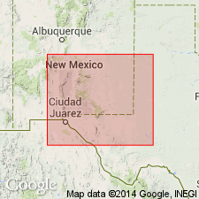
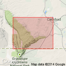
Exposed in Chalk Bluff, on east bank of Pecos River southeast of Artesia, Pecos Valley region, Eddy Co., southeastern NM.
[GNC remark (ca. 1960, US geologic names lexicon, USGS Bull. 1200, p. 708): As defined in this reference includes (ascending) Queen sandstone, Seven Rivers, and Three Twins (new) members.]
Source: US geologic names lexicon (USGS Bull. 896, p. 394).

- Usage in publication:
-
- Chalk Bluff Formation
- Modifications:
-
- Not used
Summary:
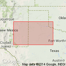
Not used. Appraised as a term applied to evaporitic rocks but one that does not have a type section or precise stratigraphic limits. Cannot be traced into study area.
Source: GNU records (USGS DDS-6; Denver GNULEX).

- Usage in publication:
-
- Chalk Bluff Formation*†
- Modifications:
-
- Abandoned
Summary:
Originally included all rocks of the evaporite facies from the top of the San Andres Limestone to the base of the Salado Formation. Formations in the evaporite facies are distinguishable. Name Chalk Bluff, therefore, abandoned.
Source: GNU records (USGS DDS-6; Denver GNULEX).
For more information, please contact Nancy Stamm, Geologic Names Committee Secretary.
Asterisk (*) indicates published by U.S. Geological Survey authors.
"No current usage" (†) implies that a name has been abandoned or has fallen into disuse. Former usage and, if known, replacement name given in parentheses ( ).
Slash (/) indicates name conflicts with nomenclatural guidelines (CSN, 1933; ACSN, 1961, 1970; NACSN, 1983, 2005, 2021). May be explained within brackets ([ ]).

