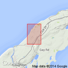
- Usage in publication:
-
- Central Mine group†
- Modifications:
-
- Abandoned
- AAPG geologic province:
-
- Wisconsin arch
Summary:
Portage Lake lava series (new) proposed to include rocks previously called Eagle River, Ashbed, Central Mine, and Bohemian Range groups in other reports. These names were arbitrary and depended on continuity of individual flows or conglomerate beds for validity. [Central Mine group is abandoned in this report.]
Source: GNU records (USGS DDS-6; Reston GNULEX).
For more information, please contact Nancy Stamm, Geologic Names Committee Secretary.
Asterisk (*) indicates published by U.S. Geological Survey authors.
"No current usage" (†) implies that a name has been abandoned or has fallen into disuse. Former usage and, if known, replacement name given in parentheses ( ).
Slash (/) indicates name conflicts with nomenclatural guidelines (CSN, 1933; ACSN, 1961, 1970; NACSN, 1983, 2005, 2021). May be explained within brackets ([ ]).

