

- Usage in publication:
-
- Centerville till
- Modifications:
-
- Named
- Dominant lithology:
-
- Till
- AAPG geologic province:
-
- Cincinnati arch
Summary:
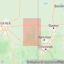
Named for Centerville, Wayne Co., southeastern IN. Till below interstadial organic-till units 1, 1, and 2 in Wildman, Smith, and Darrah Farm section, respectively, is considered to represent an Illinoian glacial stade, here called Centerville glacial stade. Centerville stade followed by Abington interstade (new). Centerville till overlies older drift and bedrock; underlies Abington silt. Age is Pleistocene (Illinoian).
Source: GNU records (USGS DDS-6; Reston GNULEX).
- Usage in publication:
-
- Centerville Till
- Modifications:
-
- Areal extent
- AAPG geologic province:
-
- Cincinnati arch
Summary:
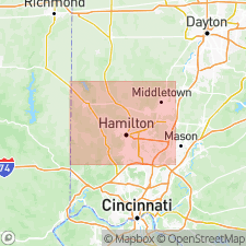
Illinoian Centerville Till occurs in southeastern IN and in the Oxford, OH, region. Underlies silt of Abington interstadial.
Source: GNU records (USGS DDS-6; Reston GNULEX).
For more information, please contact Nancy Stamm, Geologic Names Committee Secretary.
Asterisk (*) indicates published by U.S. Geological Survey authors.
"No current usage" (†) implies that a name has been abandoned or has fallen into disuse. Former usage and, if known, replacement name given in parentheses ( ).
Slash (/) indicates name conflicts with nomenclatural guidelines (CSN, 1933; ACSN, 1961, 1970; NACSN, 1983, 2005, 2021). May be explained within brackets ([ ]).