

- Usage in publication:
-
- Cenotaph Volcanics*
- Modifications:
-
- Named
- Dominant lithology:
-
- Volcaniclastics
- Siltstone
- Sandstone
- Conglomerate
- AAPG geologic province:
-
- Alaska Southeastern region
Summary:
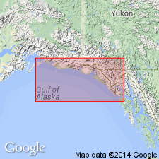
Type section designated along south shore of Cenotaph Island in Lituya Bay, [Mt Fairweather quad] southeastern AK. Consists of unfossiliferous unit about 1250 ft thick characterized by green, red, and purple andesitic volcanic breccia, tuff, and flows interbedded with tuffaceous siltstone, glauconitic sandstone, pebble-cobble conglomerate, and minor coal. Is probably continental and marine. Intertongues with and in part unconformably underlies Topsy Formation (new). Also unconformably underlies Yakataga Formation. Unconformably overlies pre-Tertiary rocks. Larger areas of Cenotaph Volcanics shown on map of Gulf of Alaska and unit in part shown undivided with Topsy Formation. Tentatively assigned post-early Oligocene(?) to pre-middle Miocene age.
Source: GNU records (USGS DDS-6; Menlo GNULEX).
For more information, please contact Nancy Stamm, Geologic Names Committee Secretary.
Asterisk (*) indicates published by U.S. Geological Survey authors.
"No current usage" (†) implies that a name has been abandoned or has fallen into disuse. Former usage and, if known, replacement name given in parentheses ( ).
Slash (/) indicates name conflicts with nomenclatural guidelines (CSN, 1933; ACSN, 1961, 1970; NACSN, 1983, 2005, 2021). May be explained within brackets ([ ]).