The National Geologic Map Database is migrating to a new infrastructure. We apologize for any service disruptions during this process.
|
|---|


- Usage in publication:
-
- Cedar formation
- Modifications:
-
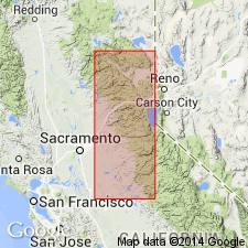
- Areal extent
- Dominant lithology:
-
- Limestone
- Conglomerate
- Slate
- AAPG geologic province:
-
- Sierra Nevada province
Turner, H.W., 1894, Geological notes on the Sierra Nevada: American Geologist, v. 13, p. 228-249.
Summary:
Pg. 229-249. The Cedar formation includes Hosselkus limestone and underlying slates [meaning Swearinger slate, which is now known to overlie Hosselkus limestone.] [Age is Late Triassic.]
Source: US geologic names lexicon (USGS Bull. 896, p. 381).
- Usage in publication:
-
- Cedar formation*
- Modifications:
-
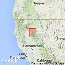
- Principal reference
- Dominant lithology:
-
- Limestone
- Slate
- Sandstone
- AAPG geologic province:
-
- Sierra Nevada province
- Klamath Mountains province
Summary:
(and 1892 prelim. proof-sheet ed. of USGS Lassen Peak folio). Although there are slates and sandstones, with occasional traces of conglomerate, the principal stratum of Cedar formation is limestone, which forms conspicuous ledges on road a few miles west of Buzzard's Roost. This limestone is rich in Triassic fossils, which clearly show it is same as Hosselkus limestone of Genesee Valley [Plumas County].
Named from exposure on Cedar Creek along toll road between Redding and Round Mountain, [in T. 34 N., R. 1 W., southeast corner of Montgomery 15-min quadrangle, Shasta Co.], Lassen Peak region, northern CA, where it is overlain by Bend formation.
Source: US geologic names lexicon (USGS Bull. 896, p. 381); supplemental information from GNU records (USGS DDS-6; Menlo GNULEX).
- Usage in publication:
-
- Cedar formation
- Modifications:
-
- Not used
- AAPG geologic province:
-
- Klamath Mountains province
- Sierra Nevada province
Summary:
Referred to rocks of Cedar formation as (ascending); Swearinger slates and Hosselkus limestone. Age is Late Triassic based on fossils in both formations. [Implies no further use for 'Cedar formation"].
Source: GNU records (USGS DDS-6; Menlo GNULEX).
- Usage in publication:
-
- Cedar Formation†
- Modifications:
-
- Abandoned
- AAPG geologic province:
-
- Sierra Nevada province
- Klamath Mountains province
Summary:
Unit is abandoned "because the name has never been widely accepted and has been used only rarely in the last twenty years". Its rocks are [everywhere] reassigned as unnamed strata.
Source: GNU records (USGS DDS-6; Menlo GNULEX).
For more information, please contact Nancy Stamm, Geologic Names Committee Secretary.
Asterisk (*) indicates published by U.S. Geological Survey authors.
"No current usage" (†) implies that a name has been abandoned or has fallen into disuse. Former usage and, if known, replacement name given in parentheses ( ).
Slash (/) indicates name conflicts with nomenclatural guidelines (CSN, 1933; ACSN, 1961, 1970; NACSN, 1983, 2005, 2021). May be explained within brackets ([ ]).