

- Usage in publication:
-
- Cedar Point shales and shaly limestones
- Modifications:
-
- Original reference
- Dominant lithology:
-
- Shale
- Limestone
- AAPG geologic province:
-
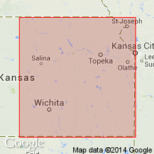
- Nemaha anticline
Summary:
Cedar Point (Matfield) shales and shaly limestones, about 92 feet thick, overlie Wreford limestone and underlie Florence flints. Included in Florence beds. Age is Permian.
[GNC remark (ca. 1938, US geologic names lexicon, USGS Bull. 896, p. 383): According to proposer is same as Matfield shale, older name. Probably named for Cedar Point, Chase Co., central KS.]
Source: US geologic names lexicon (USGS Bull. 896, p. 383)
For more information, please contact Nancy Stamm, Geologic Names Committee Secretary.
Asterisk (*) indicates published by U.S. Geological Survey authors.
"No current usage" (†) implies that a name has been abandoned or has fallen into disuse. Former usage and, if known, replacement name given in parentheses ( ).
Slash (/) indicates name conflicts with nomenclatural guidelines (CSN, 1933; ACSN, 1961, 1970; NACSN, 1983, 2005, 2021). May be explained within brackets ([ ]).