- Usage in publication:
-
- Cedar Mesa sandstone member*
- Modifications:
-
- Original reference
- Dominant lithology:
-
- Sandstone
- AAPG geologic province:
-
- Paradox basin
Summary:
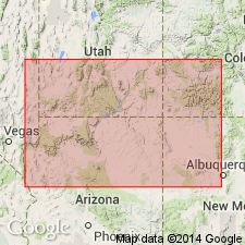
Pg. 1420, 1421, 1423, 1441, 1443, 1445, 1446. Cedar Mesa sandstone member of Cutler formation. Massive white sandstone, 500 to 1,000+/- feet thick, underlying Organ Rock tongue (red) of Cutler formation, and overlying Halgaito tongue (red) of the Cutler. Well exposed on Cedar Mesa, Utah, on San Juan River, west ot Mexican Hat (Bluff P.O.), San Juan County, southeastern Utah. In earlier reports called Coconino sandstone. Age is Permian. Report includes cross sections, correlation chart.
Source: US geologic names lexicon (USGS Bull. 896, p. 382-383); supplemental information from GNU records (USGS DDS-6; Denver GNULEX).
- Usage in publication:
-
- Cedar Mesa formation
- Modifications:
-
- Revised
- AAPG geologic province:
-
- Paradox basin
- Black Mesa basin
Summary:
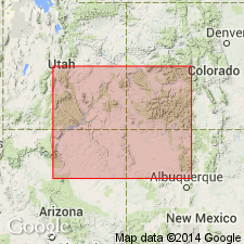
Pg. 2054, 2055. Cedar Mesa formation. In revised terminology in Four Corners region [Utah, Arizona], Cedar Mesa is raised to formation in Cutler group. Occurs above Halgaito formation. Age is Early Permian (Wolfcamp). Report includes cross sections, columnar sections, isopach maps, correlation chart.
Source: US geologic names lexicon (USGS Bull. 1200, p. 689); supplemental information from GNU records (USGS DDS-6; Denver GNULEX).
- Usage in publication:
-
- Cedar Mesa sandstone member*
- Modifications:
-
- Revised
- AAPG geologic province:
-
- Black Mesa basin
- Paradox basin
Summary:
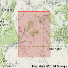
Pg. 1855. Cedar Mesa sandstone member of Cutler formation. Thickness of member about 800 feet in Monument Valley [San Juan County, Utah, and Apache County, Arizona]. Underlies Organ Rock tongue and overlies Halgaito tongue; in some areas overlies Rico formation.
Source: US geologic names lexicon (USGS Bull. 1200, p. 689).
- Usage in publication:
-
- Cedar Mesa Sandstone
- Modifications:
-
- Revised
- AAPG geologic province:
-
- Paradox basin
Summary:
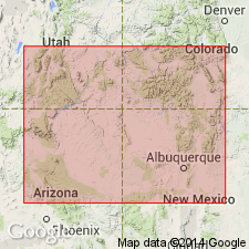
Is one of five formations assigned to the Cutler Group. Revised in that Cedar Mesa Sandstone overlies the newly named Elephant Canyon Formation from the northern Monument upwarp to the San Rafael Swell. Overlies Halgaito Shale in southern Monument upwarp. Generally underlies, though upper part intertongues with Organ Rock Shale. Forms spectacular spires, cliffs, and crags. Composed of white, gray to brown, fine- to medium-size, subangular to well-rounded, frosted quartz grains that are poorly to well cemented with calcareous cement. Facies changes take place along easternmost part of Monument upwarp where the sandstone grades into red gypsiferous shale, red to gray gypsiferous sandstone, gray crystalline limestone, and bedded sandy gypsum. Changes take place over 1-2 miles, and mark the transition into lower Cutler evaporites. Probably deposited near to a marine environment. Source of sand to northwest --probably the Weber Sandstone. Age is entirely Wolfcampian. Isopach map.
Source: GNU records (USGS DDS-6; Denver GNULEX).
- Usage in publication:
-
- Cedar Mesa Sandstone Member*
- Modifications:
-
- Overview
- AAPG geologic province:
-
- Paradox basin
Summary:
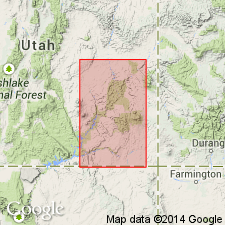
Is a member of the Cutler Formation that intertongues with the underlying Halgaito Member of the Cutler to the southeast and with the underlying Elephant Canyon or Rico Formation to the northwest. Intertongues with the overlying Organ Rock Member of the Cutler to the southeast and with the overlying White Rim Sandstone Member of the Cutler to the northwest. Assigned to the Early Permian, Wolfcampian. Report area is in the Paradox basin. Includes: 1) eolian facies which is subdivided into dune facies of fine-grained, quartzose sandstone, interdune facies of thin, discontinuous, cherty limestones, siltstone, and fine-grained sandstone, and sheet sand; 2) paleosols recognized by their massive, horizontal, varicolored sandstone that is characterized by its lack of stratification, mottled colors, discontinuous zones of claystone and nodular limestone, and that exhibit bioturbation; 3) fluvial facies to northeast of arkosic sandstone and conglomerate with associated siltstone and shale; and 4) sabkha facies to southeast of gypsum, siltstone, and limestone. Cross section. Schematic sections.
Source: GNU records (USGS DDS-6; Denver GNULEX).
For more information, please contact Nancy Stamm, Geologic Names Committee Secretary.
Asterisk (*) indicates published by U.S. Geological Survey authors.
"No current usage" (†) implies that a name has been abandoned or has fallen into disuse. Former usage and, if known, replacement name given in parentheses ( ).
Slash (/) indicates name conflicts with nomenclatural guidelines (CSN, 1933; ACSN, 1961, 1970; NACSN, 1983, 2005, 2021). May be explained within brackets ([ ]).

