- Usage in publication:
-
- Cedar Hill serpentinite
- Modifications:
-
- Named
- Dominant lithology:
-
- Serpentinite
- AAPG geologic province:
-
- Piedmont-Blue Ridge province
Summary:
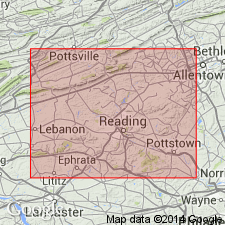
Named for Cedar Hill, Cecil Co., northeastern MD. Occurs within easternmost of two serpentinite belts that trend from northeast MD into southeastern PA. Contact with Peters Creek schist lies just north of Cedar Hill quarry; further to the east, serpentinite is in contact with Wissahickon schist. Age is early Paleozoic based on ages of schists.
Source: GNU records (USGS DDS-6; Reston GNULEX).
For more information, please contact Nancy Stamm, Geologic Names Committee Secretary.
Asterisk (*) indicates published by U.S. Geological Survey authors.
"No current usage" (†) implies that a name has been abandoned or has fallen into disuse. Former usage and, if known, replacement name given in parentheses ( ).
Slash (/) indicates name conflicts with nomenclatural guidelines (CSN, 1933; ACSN, 1961, 1970; NACSN, 1983, 2005, 2021). May be explained within brackets ([ ]).

