

- Usage in publication:
-
- Cedar Bluffs Till
- Modifications:
-
- Original reference
- AAPG geologic province:
-
- Salina basin
Summary:
Pg. 4 (fig. 3), 32, 54-55. Cedar Bluffs Till. Thickness about 17.5 feet at type locality where it occurs above Fontanelle Soil developed at top of Nickerson Till (new). Fluviatile equivalent of the Cedar Bluffs in periglacial region is Walnut Creek Formation (new). Age is middle Pleistocene.
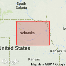
Type locality: in bluffs on southwest side of Platte River valley below Boy Scout Camp Cedars, about 3 mi northeast of town of Cedar Bluffs, in SW/4 NE/4 sec. 24, T. 17 N., R. 7 E., Saunders Co., NE. Well represented in prominent drainage divide between Big Blue River and Missouri River drainages in southeastern Nebraska where it forms prominent lateral moraine.
Source: US geologic names lexicon (USGS Bull. 1350, p. 129).
For more information, please contact Nancy Stamm, Geologic Names Committee Secretary.
Asterisk (*) indicates published by U.S. Geological Survey authors.
"No current usage" (†) implies that a name has been abandoned or has fallen into disuse. Former usage and, if known, replacement name given in parentheses ( ).
Slash (/) indicates name conflicts with nomenclatural guidelines (CSN, 1933; ACSN, 1961, 1970; NACSN, 1983, 2005, 2021). May be explained within brackets ([ ]).