The National Geologic Map Database is migrating to a new infrastructure. We apologize for any service disruptions during this process.
|
|---|


- Usage in publication:
-
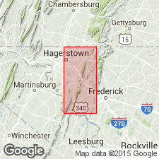
- Cavetown Member
- Modifications:
-
- Named
- Dominant lithology:
-
- Dolomite
- Limestone
- AAPG geologic province:
-
- Appalachian basin
Summary:
Named the Cavetown Member of the Waynesboro Formation in MD, PA, and WV for Cavetown, Washington Co., MD. Consists of interbedded medium- to dark-gray, bioturbated dolomite, dolomitic limestone and laminated limestone with a few thin siliciclastic intervals near the middle. Thickness is 500 to 600 feet. Overlies the Red Run Member and underlies the Chewsville Member, both of the Waynesboro Formation. Lower contact placed in a gradational zone where laminated dolomite and siliciclastics give way to carbonate rocks. Upper contact is placed where interbedded dolomite and shaly limestone give way to siliciclastic beds of the Chewsville Member. The Cavetown is of Early Cambrian age.
Source: GNU records (USGS DDS-6; Reston GNULEX).
For more information, please contact Nancy Stamm, Geologic Names Committee Secretary.
Asterisk (*) indicates published by U.S. Geological Survey authors.
"No current usage" (†) implies that a name has been abandoned or has fallen into disuse. Former usage and, if known, replacement name given in parentheses ( ).
Slash (/) indicates name conflicts with nomenclatural guidelines (CSN, 1933; ACSN, 1961, 1970; NACSN, 1983, 2005, 2021). May be explained within brackets ([ ]).