- Usage in publication:
-
- Catskin Formation
- Modifications:
-
- Named
- Dominant lithology:
-
- Mudstone
- Shale
- Sandstone
- Conglomerate
- AAPG geologic province:
-
- San Joaquin basin
Summary:
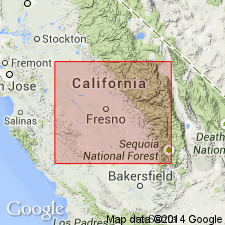
zzzzzArea of report is Avenal Ridge-Reef Ridge area of southern Diablo Range, 200 miles southeast of San Francisco, in Fresno and Kings Counties, west-central California. Eight stratigraphic units ranging from Early to Late Cretaceous are recognized in area, in descending [ascending?] order: Badger Shale, Risco Formation, Johnson Peak Formation, Catskin Formation (new), Lovel Shale (new), Redman [Red Man] Sandstone, Willow Spring Mudstone (new), and Moreno Formation. All rocks are marine of shallow neritic to bathyl depths and consist of thick sequences of mudstone, shale, thin- to thick-bedded concretionary sandstones and conglomerates. Unconformities exist between [Red Man] (Campanian) and Willow Spring (Maastrichtian); [Red Man] and Lovel (Santonian); and Lovel and Catskin (Cenomanian to Coniacian).
Source: US geologic names lexicon (USGS Bull. 1350, p. 130); supplemental information from GNU records (USGS DDS-6; Menlo GNULEX).
For more information, please contact Nancy Stamm, Geologic Names Committee Secretary.
Asterisk (*) indicates published by U.S. Geological Survey authors.
"No current usage" (†) implies that a name has been abandoned or has fallen into disuse. Former usage and, if known, replacement name given in parentheses ( ).
Slash (/) indicates name conflicts with nomenclatural guidelines (CSN, 1933; ACSN, 1961, 1970; NACSN, 1983, 2005, 2021). May be explained within brackets ([ ]).

