

- Usage in publication:
-
- Cathedral Bluffs red beds member*
- Modifications:
-
- Original reference
- Dominant lithology:
-
- Sandstone
- Conglomerate
- Shale
- Clay
- AAPG geologic province:
-
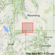
- Green River basin
Summary:
Cathedral Bluffs red beds member of Green River formation. Variegated clay, shale, and sandstone, in places slightly conglomeratic. Thickness 0 to 1,500 feet. Unconformably underlies Laney shale member and overlies Tipton shale member. Produces the highly colored escarpment of Laney Rim [now Delaney Rim] and "Cathedral Bluffs," Sweetwater Co., southwestern Wyoming. [Age is Eocene.]
Source: US geologic names lexicon (USGS Bull. 896, p. 372).
- Usage in publication:
-
- Cathedral Bluffs tongue*
- Modifications:
-
- Revised
- AAPG geologic province:
-
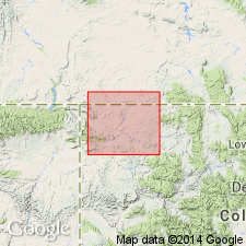
- Green River basin
Summary:
Cathedral Bluffs tongue of Wasatch formation. In basin of Vermillion Creek, in northwestern part of Moffat County, northwestern Colorado, and southern Sweetwater County, Wyoming, the upper part of Wasatch formation consists of 600 to 1,200 feet of clay shale similar to that in eastern part of field, except that here various shades of red are predominant. The upper and lower parts of Wasatch are separated by Tipton tongue of Green River formation. This tongue, which is characterized by gray fissile shale and oil shale, wedges out southward, and main part of the Wasatch and the upper part (here called Cathedral Bluffs tongue) merge into a continuous formation comparable to that east of Godiva Ridge. According to Schultz the Cathedral Bluffs tongue (which he called Cathedral Bluffs red beds member of Green River formation) passes northwestward by lateral variation into typical grayish Green River shales. To northwest, beyond limits of the field in Moffat County, the Cathedral Bluffs tongue of the Wasatch loses its identity and the older Tipton tongue merges with the overlying Green River shales. [Fig. 23 of this report shows upper part of the red Wasatch formation of certain areas in Colorado to be contemporaneous with and to interfinger in lower part of the grayish Green River formaiton of vicinity of Green River, Wyoming.] [Age is Eocene.]
Source: US geologic names lexicon (USGS Bull. 896, p. 372).
- Usage in publication:
-
- Cathedral Bluffs tongue*
- Modifications:
-
- Revised
- AAPG geologic province:
-
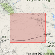
- Green River basin
Summary:
Pg. 101, 102. Cathedral Bluffs tongue of Wasatch formation. Overlies Tipton tougue of Green River formation; underlies and interfingers with Laney shale member and Morrow Creek member of Green River; intertongues laterally with Battle Spring formation (new). Thickness as much as 900 feet. Has yielded some fossils thought by some to be early Eocene and by others to be middle Eocene.
Source: US geologic names lexicon (USGS Bull. 1200, p. 673).
- Usage in publication:
-
- Cathedral Bluffs Tongue*
- Modifications:
-
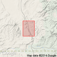
- Areal extent
- AAPG geologic province:
-
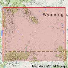
- Green River basin
Summary:
Pg. B4-B7, B8 (fig. 4), B12 (fig. 10). Cathedral Bluffs Tongue of Wasatch Formation. In vicinity of Fontenelle Creek, along western margin of Green River basin, is mostly gray, fine- to medium-grained, lenticular, trough cross-bedded sandstone, and interbedded thin, gray, fine- to medium-grained, parallel-bedded sandstone, gray to gray-green mudstone, and gray shaly siltstone, 100+ feet thick; unconformably underlies Laney Member of Green River Formation and overlies and intertongues with Wilkins Peak Member of Green River Formation; replaces New Fork Tongue of Donavan (1950), upper tongue of Oriel (1961) and Lawrence (1963), and Desertion Point Tongue of Sullivan (1980). In Table Rock field, northern Washakie basin, is mostly red, gray, and green, variegated, silty, soft mudstone, 200+ feet thick; overlies Wilkins Peak Member of Green River Formation. Not present in White Mountain area, northwestern flank of Rock Springs uplift. Fossils. Age is early to middle Eocene.
Source: Publication.
- Usage in publication:
-
- Cathedral Bluffs Tongue*
- Modifications:
-
- Mapped 1:24k
- Dominant lithology:
-
- Mudstone
- Sandstone
- AAPG geologic province:
-
- Green River basin
Summary:
Sheet 1 (fig. 1, geol. map). Cathedral Bluffs Tongue of Wasatch Formation. Exposed locally in Baggs and Peach Orchard Flat 7.5-minute quadrangles, Carbon County, southernmost Wyoming; thickness from 71 to few hundred feet. Recognized in subsurface of adjacent quadrangle to west, in the True Oil Company Mattie No. 1 well, in sec. 14, T. 14 N., R. 93 W., Flat Top Mountain 7.5-min quadrangle, Carbon County, where it is 1,360 feet thick. Age is Eocene.
(See also Roehler, 1988, USGS Bull. 1669-A; Honey, 1988, USGS Bull. 1669-C.)
Source: Publication.
For more information, please contact Nancy Stamm, Geologic Names Committee Secretary.
Asterisk (*) indicates published by U.S. Geological Survey authors.
"No current usage" (†) implies that a name has been abandoned or has fallen into disuse. Former usage and, if known, replacement name given in parentheses ( ).
Slash (/) indicates name conflicts with nomenclatural guidelines (CSN, 1933; ACSN, 1961, 1970; NACSN, 1983, 2005, 2021). May be explained within brackets ([ ]).