

- Usage in publication:
-
- Cassia Dolomite
- Modifications:
-
- Named
- Dominant lithology:
-
- Dolomite
- AAPG geologic province:
-
- Great Basin province
Summary:
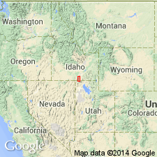
Named as one of eight formations of the Dove Creek Group (new) for Cassia Co, ID in the Great Basin province, where the Albion Range lies. Is a well exposed distinctive unit on a ridge north of Mount Harrison. No type locality designated. Geologic map; mapped in a small exposure at north edge of map. Consists of 2,000 ft of gray, sugary dolomite that is well exposed and not interbedded with another lithology. Basal contact with the newly named Dayley Creek Quartzite (Ordovician) of Dove Creek Group is transitional over a few yards of sandy dolomite that separate the underlying quartzite from the dolomite. Upper contact with the newly named View Formation (Mississippian?) of Dove Creek Group placed at base of first graphitic or calcareous bed. Assigned an Ordovician, Silurian, Devonian age.
Source: GNU records (USGS DDS-6; Denver GNULEX).
For more information, please contact Nancy Stamm, Geologic Names Committee Secretary.
Asterisk (*) indicates published by U.S. Geological Survey authors.
"No current usage" (†) implies that a name has been abandoned or has fallen into disuse. Former usage and, if known, replacement name given in parentheses ( ).
Slash (/) indicates name conflicts with nomenclatural guidelines (CSN, 1933; ACSN, 1961, 1970; NACSN, 1983, 2005, 2021). May be explained within brackets ([ ]).