

- Usage in publication:
-
- Casey Formation
- Modifications:
-
- Named
- Dominant lithology:
-
- Silt
- Sand
- AAPG geologic province:
-
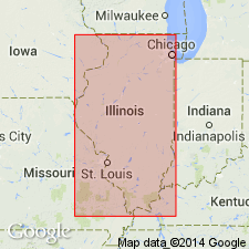
- Illinois basin
Summary:
Name Casey Formation given to the mixed (loamy) zone directly underlying the Peoria and Roxana loess. Originally referred to as a sandy silt facies of Roxana loess (Johnson and others, 1972; Follmer, 1982) or a lower textural zone of the Peoria (Olson and Ruhe, 1979). Described here as a mixture of the underlying Sangamon paleosol and the lower portion of Peoria loess, or the lower portion of Roxana loess, or of the entire Roxana loess. Neither till nor loess, but a mixture of the two, produced locally when the boundary of paleosol and the loess was exposed and disturbed by pedoturbation and bioturbation. Sand content increases with depth. No thickness given.
Source: GNU records (USGS DDS-6; Reston GNULEX).
For more information, please contact Nancy Stamm, Geologic Names Committee Secretary.
Asterisk (*) indicates published by U.S. Geological Survey authors.
"No current usage" (†) implies that a name has been abandoned or has fallen into disuse. Former usage and, if known, replacement name given in parentheses ( ).
Slash (/) indicates name conflicts with nomenclatural guidelines (CSN, 1933; ACSN, 1961, 1970; NACSN, 1983, 2005, 2021). May be explained within brackets ([ ]).