

- Usage in publication:
-
- Carter Canyon Ash Bed
- Modifications:
-
- Original reference
- Dominant lithology:
-
- Ash
- Marl
- AAPG geologic province:
-
- Denver basin
Summary:
Pg. 1, 4. Canyon Ash Bed of Helvas Canyon Member of Gering Formation. Consists of white, volcanic ash and marl. Thickness is 1.2 m at type locality. Age is Miocene.
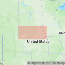
Type locality: Helvas Canyon, east of Carter Canyon and south of Mitchell Pass, 4.3 km west and 9 km south of Gering, in NW/4 NE/4 NW/4 sec. 6, T. 20 N., R. 55 W., Scottsbluff quadrangle, Scotts Bluff Co., west-central NE.
Source: US geologic names lexicon (USGS Bull. 1520, p. 55).
For more information, please contact Nancy Stamm, Geologic Names Committee Secretary.
Asterisk (*) indicates published by U.S. Geological Survey authors.
"No current usage" (†) implies that a name has been abandoned or has fallen into disuse. Former usage and, if known, replacement name given in parentheses ( ).
Slash (/) indicates name conflicts with nomenclatural guidelines (CSN, 1933; ACSN, 1961, 1970; NACSN, 1983, 2005, 2021). May be explained within brackets ([ ]).