

- Usage in publication:
-
- Carson Sand Member
- Modifications:
-
- Named
- Dominant lithology:
-
- Sand
- AAPG geologic province:
-
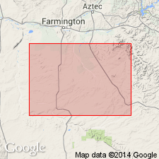
- San Juan basin
Summary:
Name applied in the subsurface of northwest NM to one of three bar sandstones in the Gallup Sandstone that was formed as a sand bar. Type well designated as the Shell No. 21-13 Carson in NE1/4 NW1/4 sec 23, T25N, R12W, San Juan Co, NM in the San Juan basin. Is the least extensive sandstone; is present in central part of the Bisti field where it is less than 1 mi wide. Has a maximum thickness of 30 ft. Lies west of the Huerfano Sand Member, also a bar sand. Cross sections, areal extent map. Characterized by presence of glauconite. Probably deposited in shallow agitated water. Overlies and underlies the "Low SP zone." Of Late Cretaceous age.
Source: GNU records (USGS DDS-6; Denver GNULEX).
For more information, please contact Nancy Stamm, Geologic Names Committee Secretary.
Asterisk (*) indicates published by U.S. Geological Survey authors.
"No current usage" (†) implies that a name has been abandoned or has fallen into disuse. Former usage and, if known, replacement name given in parentheses ( ).
Slash (/) indicates name conflicts with nomenclatural guidelines (CSN, 1933; ACSN, 1961, 1970; NACSN, 1983, 2005, 2021). May be explained within brackets ([ ]).