The National Geologic Map Database is migrating to a new infrastructure. We apologize for any service disruptions during this process.
|
|---|


- Usage in publication:
-
- Carlos sandstone member
- Modifications:
-
- Original reference
- Dominant lithology:
-
- Sandstone
- AAPG geologic province:
-
- Gulf Coast basin
Summary:
Table opp. p. 17, and p. 31-32. Carlos sandstone member of Wellborn formation of Jackson group. Top member of Wellborn formation of Jackson group in Grimes, Brazos, Lee, Fayette, Gonzales, and Burleson Counties, southeastern Texas, in all which it is exposed. [Exposures listed.] Consists of massive gray to white sandstone, more argillaceous than older Bedias sandstone member of the Wellborn; locally semiquartzitic; contains impressions of stems. Thickness 5 to 22 feet. Underlies Manning formation and lies 10 to 120 feet above Bedias sandstone member. Rests conformably on middle member of Wellborn. Age is late Eocene.
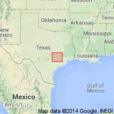
Well exposed along Southern Pacific RR right-of-way, now abandoned, 0.25 mi north of Carlos Station, Grimes Co., southeastern TX.
Source: US geologic names lexicon (USGS Bull. 896, p. 348).

- Usage in publication:
-
- Carlos sandstone member
- Modifications:
-
- Principal reference
- Dominant lithology:
-
- Sandstone
- AAPG geologic province:
-
- Gulf Coast basin
Summary:
Pg. 168. Carlos sandstone member of Wellborn formation. Renick mapped Carlos sandstone extending west from Carlos about 3 miles. Fieldwork in this area shows that the sandstone extending west from Carlos is in the Manning at a stratigraphic position about 100 to 150 feet above top of Carlos. This sandstone is here named Goodbread. [Age of Carlos is late Eocene.] Type locality [of Carlos] discussed.
Type locality: about 0.5 mi north of road intersection at Carlos, Grimes Co., east-central TX.
Source: US geologic names lexicon (USGS Bull. 1200, p. 639).
- Usage in publication:
-
- Carlos sandstone member
- Modifications:
-
- Overview
- AAPG geologic province:
-
- Gulf Coast basin
Summary:
Pg. 2626 (table 1), 2628. Carlos sandstone member of Wellborn formation of Renick (1936) and Russell (1955, 1957) in east-central Texas, mentioned in discussion of Wellborn sandstone, but in this report (south-central Texas) the Wellborn is considered a formation, undivided. [See also entry under Wellborn.]
Source: US geologic names lexicon (USGS Bull. 1200, p. 639).

- Usage in publication:
-
- Carlos Sandstone [Member]
- Modifications:
-
- Areal extent
- AAPG geologic province:
-
- Gulf Coast basin
Summary:
Carlos Sandstone [Member], at top of Wellborn Formation. Described as sandstone, medium-grained quartz, indurated, locally silica cemented, massive, forms ledges, gray. Thickness not given. Underlies Manning Formation. Age is Eocene.
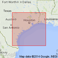
Not separately mapped. (Wellborn undivided mapped in Wilson, Karnes, Gonzales, and Fayette Cos., southeastern TX.)
Source: Modified from GNU records (USGS DDS-6; Denver GNULEX).
For more information, please contact Nancy Stamm, Geologic Names Committee Secretary.
Asterisk (*) indicates published by U.S. Geological Survey authors.
"No current usage" (†) implies that a name has been abandoned or has fallen into disuse. Former usage and, if known, replacement name given in parentheses ( ).
Slash (/) indicates name conflicts with nomenclatural guidelines (CSN, 1933; ACSN, 1961, 1970; NACSN, 1983, 2005, 2021). May be explained within brackets ([ ]).