- Usage in publication:
-
- Card member
- Modifications:
-
- Named
- Dominant lithology:
-
- Dolomite
- Conglomerate
- AAPG geologic province:
-
- Wasatch uplift
Summary:
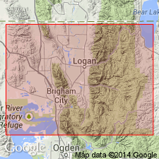
Named as basal member of Water Canyon formation for exposures on ridge behind Card Ranger station, Logan Canyon, sec no 3, NE1/4 sec 24, T12N, R2E, Cache Co, UT in the Wasatch uplift. No type locality designated. Composed principally of thin-bedded to laminated, compact, white-weathering argillaceous dolostone. Beds of intraformational conglomerate a fraction of an inch to several ft thick common. Some mudcracks. Is 221 ft thick near Card Ranger station and 69-334 ft thick elsewhere. Measured sections. Cross section. Isopach map. Overlies Laketown dolostone; underlies Grassy Flat member (new) of Water Canyon formation. Lower contact placed at top of massive, granular and dark colored dolostone beds of Laketown with more compact lighter weathering dolostone of Card. Is of Early Devonian age. Of marine origin.
Source: GNU records (USGS DDS-6; Denver GNULEX).
For more information, please contact Nancy Stamm, Geologic Names Committee Secretary.
Asterisk (*) indicates published by U.S. Geological Survey authors.
"No current usage" (†) implies that a name has been abandoned or has fallen into disuse. Former usage and, if known, replacement name given in parentheses ( ).
Slash (/) indicates name conflicts with nomenclatural guidelines (CSN, 1933; ACSN, 1961, 1970; NACSN, 1983, 2005, 2021). May be explained within brackets ([ ]).

