- Usage in publication:
-
- Cape Elizabeth formation*
- Modifications:
-
- Named
- Dominant lithology:
-
- Slate
- Schist
- Quartzite
- Phyllite
- AAPG geologic province:
-
- New England province
Summary:
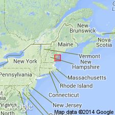
Named for development at Cape Elizabeth, Cumberland Co., southwestern ME. Named as a formation in Casco Bay group. Consists of an assemblage of mostly thin-bedded, light-gray, siliceous and sericitic slates; and heavier beds of graywacke slate, schist, and quartzite containing, at short intervals, thin layers or laminae of black, micaceous phyllite and light-bluish calcareous schist or slate. Thickness about 600 ft. Underlies Spring Point greenstone; overlies Kittery quartzite. Age is Pennsylvanian(?).
Source: GNU records (USGS DDS-6; Reston GNULEX).

- Usage in publication:
-
- Cape Elizabeth Formation
- Modifications:
-
- Areal extent
- AAPG geologic province:
-
- New England province
Summary:
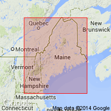
Low-grade calcareous metasiltstones and metapelite originally mapped as part of the Cape Elizabeth Formation in the southern part of the outcrop belt of the Casco Bay Group are now considered to be an extension of the Eliot Formation. Similar, but thicker and more variably bedded low grade metasiltstone and metapelite east of the Broad Cove fault in Cape Elizabeth (typified by the exposures at Two Lights State Park) are reinterpreted as onstrike equivalents of the Kittery Formation of the Merrimack Group. Rocks of both of these belts are too calcareous to produce the typical garnet and higher metamorphic grade rocks of the Cape Elizabeth lithology. Typical Cape Elizabeth consists of quartz-plagioclase-muscovite-biotite-garnet schist, slightly micaceous feldspathic quartzite, calc-silicate lenses, and rare amphibolite beds. Unit is infolded with the underlying Cushing Formation at Pond Cove. Also mapped along Willard Beach and near Great Pond along Cape Elizabeth fault. Map symbol indicates an Ordovician age. [Exposures at Two Lights State Park were designated as the type locality for the Cape Elizabeth by Hussey in 1978. Author does not designate a new reference section for the Cape Elizabeth.]
Source: GNU records (USGS DDS-6; Reston GNULEX).
For more information, please contact Nancy Stamm, Geologic Names Committee Secretary.
Asterisk (*) indicates published by U.S. Geological Survey authors.
"No current usage" (†) implies that a name has been abandoned or has fallen into disuse. Former usage and, if known, replacement name given in parentheses ( ).
Slash (/) indicates name conflicts with nomenclatural guidelines (CSN, 1933; ACSN, 1961, 1970; NACSN, 1983, 2005, 2021). May be explained within brackets ([ ]).

