- Usage in publication:
-
- Cantua sandstone member
- Modifications:
-
- Original reference
- Dominant lithology:
-
- Sandstone
- Shale
- AAPG geologic province:
-
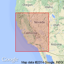
- San Joaquin basin
Summary:
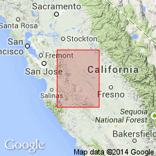
Pg. 33, 59-63, and map. Cantua sandstone member. A huge lens of massive, medium- to fine-grained, gray, concretionary sandstone and interbedded clay shale that forms lower and major part of Martinez(?) formation within a small area. Maximum thickness at least 4,500 feet. Rests unconformably on Moreno formation. Is overlain by and in places grades laterally into dark clay shale that composes the rest (400 to 1,100 feet) of Martinez(?) formation.
Named from fact it reaches greatest development at head of western branches of Cantua Creek, Fresno Co., central CA.
Source: US geologic names lexicon (USGS Bull. 896, p. 337).
- Usage in publication:
-
- Cantua sandstone member
- Modifications:
-
- Revised
- AAPG geologic province:
-
- San Joaquin basin
Summary:
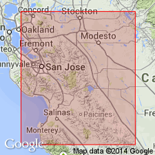
These beds belong to his [B.L. Clark's] Meganos group and are younger than the Martinez.
Source: US geologic names lexicon (USGS Bull. 896, p. 337).
- Usage in publication:
-
- Cantua sandstone member
- Modifications:
-
- Revised
- AAPG geologic province:
-
- San Joaquin basin
Summary:
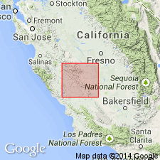
Cantua sandstone is regarded as member of Capay formation. [On pl. 89 he mapped Cantua sandstone member separately.]
Source: US geologic names lexicon (USGS Bull. 896, p. 337).
- Usage in publication:
-
- Cantua sandstone member
- Modifications:
-
- Revised
- AAPG geologic province:
-
- San Joaquin basin
Summary:
Pg. 256-257. Assigned to member status in Lodo formation (new). Overlies Cerros member (new); underlies Arroyo Hondo member.
Source: US geologic names lexicon (USGS Bull. 1200, p. 613).
- Usage in publication:
-
- Cantua sandstone member
- Modifications:
-
- Revised
- AAPG geologic province:
-
- San Joaquin basin
Summary:
Pg. 27, 28. Assigned to member status in Arroyo Hondo formation. Lies entirely within Ragged Valley shale member; a basal portion of Ragged Valley shale, approx. 100 feet thick; appears to underlie the Cantua throughout area.
Source: US geologic names lexicon (USGS Bull. 1200, p. 613).
For more information, please contact Nancy Stamm, Geologic Names Committee Secretary.
Asterisk (*) indicates published by U.S. Geological Survey authors.
"No current usage" (†) implies that a name has been abandoned or has fallen into disuse. Former usage and, if known, replacement name given in parentheses ( ).
Slash (/) indicates name conflicts with nomenclatural guidelines (CSN, 1933; ACSN, 1961, 1970; NACSN, 1983, 2005, 2021). May be explained within brackets ([ ]).

