- Usage in publication:
-
- Canton schist
- Modifications:
-
- Named
- Dominant lithology:
-
- Schist
- AAPG geologic province:
-
- Piedmont-Blue Ridge province
Summary:
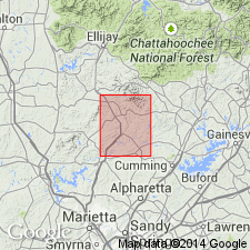
Canton schist named in Tate quad., northwestern GA. Canton is a graphitic garnet mica schist. Possibly same as Hiwassee schist, to which it is remarkably similar, but the two schists are so widely separated within the quad. that correlation in not certain. Bordered on both sides by Carolina gneiss, into which it grades by interlayering. Age is Precambrian or Cambrian.
Source: GNU records (USGS DDS-6; Reston GNULEX).

- Usage in publication:
-
- Canton Formation
- Modifications:
-
- Revised
- AAPG geologic province:
-
- Piedmont-Blue Ridge province
Summary:
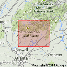
In the Dahlonega area, GA, metasedimentary rocks of the Canton Formation of the New Georgia Group are traceable for 64 mi. Four members are recognized and are named the Proctor Creek, Palmer Creek, Chestatee, and Helen Members.
Source: GNU records (USGS DDS-6; Reston GNULEX).

- Usage in publication:
-
- Canton Formation
- Modifications:
-
- Reinstated
- AAPG geologic province:
-
- Piedmont-Blue Ridge province
Summary:
Author does not agree with thrust sheet stratigraphy proposed by Higgins and others (1986). He adopts the nomenclature of McConnell and Abrams (1984) with minor modification. Canton Formation is retained for use in this report despite objections to the term by Higgins and others (1988). Its contact with overlying Univeter Formation or Kellogg Creek Mafic Complex, however, is reinterpreted as conformable, rather than fault.
Source: GNU records (USGS DDS-6; Reston GNULEX).

- Usage in publication:
-
- Canton Formation†
- Modifications:
-
- Abandoned
- AAPG geologic province:
-
- Piedmont-Blue Ridge province
Summary:
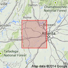
The Canton Schist of Bayley (1928), later Canton Formation of the New Georgia Group of McConnell and Abrams (1984), is here abandoned because it is not a normal sedimentary sequence and does not occur at a single stratigraphic horizon, but at different horizons within the Ropes Creek Metabasalt. As the rocks do form a mappable unit, they are informally named the Cherokee alteration zone of the Ropes Creek Metabasalt. They are well exposed in Cherokee Co., along the road from Hopewell Church at GA Hwy 205 to GA Hwy 5 at Lebanon (Toonigh Station), South Canton quad., GA.
Source: GNU records (USGS DDS-6; Reston GNULEX).
For more information, please contact Nancy Stamm, Geologic Names Committee Secretary.
Asterisk (*) indicates published by U.S. Geological Survey authors.
"No current usage" (†) implies that a name has been abandoned or has fallen into disuse. Former usage and, if known, replacement name given in parentheses ( ).
Slash (/) indicates name conflicts with nomenclatural guidelines (CSN, 1933; ACSN, 1961, 1970; NACSN, 1983, 2005, 2021). May be explained within brackets ([ ]).

