- Usage in publication:
-
- Cane Valley Limestone Member*
- Modifications:
-
- Named
- Dominant lithology:
-
- Limestone
- Siltstone
- Shale
- AAPG geologic province:
-
- Cincinnati arch
Summary:
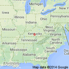
Named for Cane Valley, Adair Co., south-central KY. Named as member of Fort Payne Formation. Composed of two somewhat coalescing bodies that trend northwest and dip southwestward parallel to the enclosing southwestward dipping beds of the Fort Payne Formation. Consists of limestone interbedded with dolomitic siltstone and silty, dolomitic shale. Limestone is yellow-gray and brownish gray to medium dark gray and consists of well to poorly sorted skeletal grains derived from bryozoan and crinoidal debris. Grains commonly range from silt size to coarse sand size, locally as much as one inch in diameter. Silicification of grains, matrix, or complete beds common. Depositional offlap to the west brings Cane Valley into contact with overlying Salem and Warsaw Formations. Report includes correlation chart, map showing areal extent, and measured section at Butler Branch location; upper part is above surface in quarry; lower part is from diamond drillhole. Age is Early Mississippian.
Source: GNU records (USGS DDS-6; Reston GNULEX).
For more information, please contact Nancy Stamm, Geologic Names Committee Secretary.
Asterisk (*) indicates published by U.S. Geological Survey authors.
"No current usage" (†) implies that a name has been abandoned or has fallen into disuse. Former usage and, if known, replacement name given in parentheses ( ).
Slash (/) indicates name conflicts with nomenclatural guidelines (CSN, 1933; ACSN, 1961, 1970; NACSN, 1983, 2005, 2021). May be explained within brackets ([ ]).

