- Usage in publication:
-
- Cane Spring formation*
- Modifications:
-
- Areal extent
- AAPG geologic province:
-
- Great Basin province
Summary:
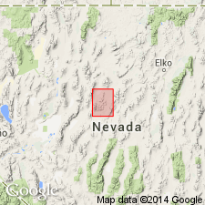
Cane Spring formation is geographically extended into the Mount Moses 15' quad, NV.
Source: GNU records (USGS DDS-6; Menlo GNULEX).

- Usage in publication:
-
- Cane Spring formation*
- Modifications:
-
- Original reference
- Biostratigraphic dating
- Dominant lithology:
-
- Dolomite
- Limestone
- AAPG geologic province:
-
- Great Basin province
Summary:
Cane Spring formation. Massive dolomite and limestone, with thin-bedded impure limestone and shale in lower part. Thin lava flow near base and 20-foot lens of dark-brown siliceous conglomerate 100 feet above base. Total thickness more than 1,000 feet. Conformably underlies Osobb formation (new); conformably overlies Augusta Mountain formation (new). Probably of shallow water origin. Age is Late Triassic [most likely Karnian, based on fossil mollusks].
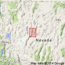
Type locality: summit and southeast slope of Augusta Mountain 2 mi south of quadrangle boundary, in vicinity of Cane Spring [now Cain Spring, Lat. 39 deg. 59 min. 09 sec. N., Long. 117 deg. 30 min. 25 sec. W., Shoshone Meadows NE 7.5-min quadrangle], Lander Co., north-central NV.
[Additional locality information from USGS GNIS database, accessed May 21, 2019.]
Source: US geologic names lexicon (USGS Bull. 1200, p. 606-607); GNU records (USGS DDS-6; Menlo GNULEX).

- Usage in publication:
-
- Cane Spring formation*
- Modifications:
-
- Areal extent
- AAPG geologic province:
-
- Great Basin province
Summary:
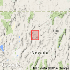
Cane Spring formation is geographically extended into the Golconda 15' quad, NV.
Source: GNU records (USGS DDS-6; Menlo GNULEX).

- Usage in publication:
-
- Cane Spring Formation*
- Modifications:
-
- Revised
- Overview
- AAPG geologic province:
-
- Great Basin province
Summary:
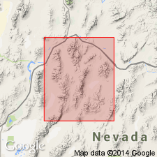
Cane Spring Formation is included in the Star Peak Group as the upper formation. The Cane Spring Formation of Muller and others (1951) contained a "thin lava flow" at base of type section. This is part of the Smelser Pass Member (new) of the Augusta Mountain Formation of Star Peak Group. The Cane Spring Formation rests on widespread unconformity. Present in Humboldt and northern East Ranges, China Mountain, southern Tobin Range, and Augusta Mountain. In north and east exposures, composed of siliceous clastic rocks at base. In southwest exposures, composed of impure, brown-weathering, nodular, shelly limestone at base which is overlain by gray limestone. Is about 1000 feet thick. In the Augusta Mountain region, upper limit of the Cane Spring Formation coincides with the Karnian-Norian boundary, based on ammonites in overlying Osobb Formation.
Source: Modified from GNU records (USGS DDS-6; Menlo GNULEX).
For more information, please contact Nancy Stamm, Geologic Names Committee Secretary.
Asterisk (*) indicates published by U.S. Geological Survey authors.
"No current usage" (†) implies that a name has been abandoned or has fallen into disuse. Former usage and, if known, replacement name given in parentheses ( ).
Slash (/) indicates name conflicts with nomenclatural guidelines (CSN, 1933; ACSN, 1961, 1970; NACSN, 1983, 2005, 2021). May be explained within brackets ([ ]).

