The National Geologic Map Database is migrating to a new infrastructure. We apologize for any service disruptions during this process.
|
|---|


- Usage in publication:
-
- Cane Hill member*
- Modifications:
-
- Original reference
- Dominant lithology:
-
- Silt
- Sandstone
- AAPG geologic province:
-
- Arkoma basin
Summary:
Pg. 1938-1939, 1948 (fig. 2). Cane Hill member, lower member of Hale formation. Composed of silt, silty sandstone, and fine-grained sandstone; locally calcareous. Bedding is generally shaly or thin and sheety, or consists of shaly siltstone alternating with thin hard beds of sandstone. Thickness ranges from thin edge to 65 feet. Unconformably underlies Prairie Grove member (new); overlies Pitkin limestone or, where the Pitkin has been removed by erosion, the Fayetteville shale.
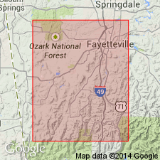
Typically exposed in southern part of Washington County, Arkansas, in vicinity of Cane Hill. Well exposed beside Arkansas State Highway 59 for 3 miles along the road south of Evansville in SE/4 sec. 35, T. 13 N., R. 33 W. Extends westward a short distance into Oklahoma.
Source: US geologic names lexicon (USGS Bull. 1200, p. 606).
- Usage in publication:
-
- Cane Hill Formation*
- Modifications:
-
- Revised
- AAPG geologic province:
-
- Arkoma basin
Summary:
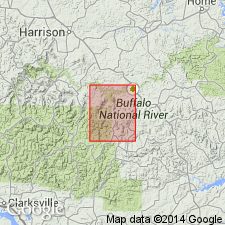
Raised in stratigraphic rank in Snowball quad, Newton and Searcy Cos, AR, Arkoma basin, from Cane Hill Member of Hale Formation to Cane Hill Formation because of its mappability. Underlies the newly named Witts Springs Formation. Of Mississippian and Pennsylvanian age.
Source: GNU records (USGS DDS-6; Denver GNULEX).
For more information, please contact Nancy Stamm, Geologic Names Committee Secretary.
Asterisk (*) indicates published by U.S. Geological Survey authors.
"No current usage" (†) implies that a name has been abandoned or has fallen into disuse. Former usage and, if known, replacement name given in parentheses ( ).
Slash (/) indicates name conflicts with nomenclatural guidelines (CSN, 1933; ACSN, 1961, 1970; NACSN, 1983, 2005, 2021). May be explained within brackets ([ ]).