The National Geologic Map Database is migrating to a new infrastructure. We apologize for any service disruptions during this process.
|
|---|


- Usage in publication:
-
- Canas member
- Modifications:
-
- Original reference
- Dominant lithology:
-
- Gypsum
- AAPG geologic province:
-
- Orogrande basin
Summary:
Pg. 1660. Canas member of Yeso formation of Manzano group. Commonly pure white gypsum; locally, thin silt partings and thin limestone beds. Thickness 96 feet at Lomo des las Canas, 52 feet in Yeso type section, 80 feet in southern Chupadera Mesa, and 115 feet at Bent, Otero County, central New Mexico. Disappears a short distance north of Yeso type section. Occurs above middle evaporite unit of Yeso; underlies Joyita sandstone member (new). [Age is Early Permian (Leonard).]
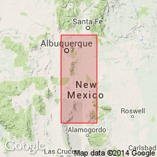
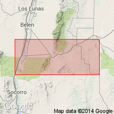
Named from the Lomo de las Canas, a range of hills 9 mi due east of Socorro, [Lomo de las Canas 7.5-min quadrangle, Socorro Co.], central NM.
[Misprint (US geologic names lexicon, USGS Bull. 1200, p. 602): Lomo de las Canas is in Socorro Co., not Otero Co.]
Source: US geologic names lexicon (USGS Bull. 1200, p. 602, Yeso entry p. 4325).
- Usage in publication:
-
- Canas member*
- Modifications:
-
- Revised
- AAPG geologic province:
-
- Estancia basin
- Orogrande basin
Summary:
A new member, Torres member, named. Yeso formation divisible into two mapped units: 1) the Meseta Blanca sandstone member at the base; and 2) the overlying undifferentiated Torres, Canas, and Joyita members. Meseta Blanca overlies Abo formation. Joyita, the uppermost member, underlies Glorieta sandstone member, basal member of San Andres formation. Yeso mapped at southwest and south-central to northeast part of area in Socorro Co (Orogrande basin) and in Torrance Co (Estancia basin). Cross sections. Of Leonard, Early Permian age.
Source: GNU records (USGS DDS-6; Denver GNULEX).
For more information, please contact Nancy Stamm, Geologic Names Committee Secretary.
Asterisk (*) indicates published by U.S. Geological Survey authors.
"No current usage" (†) implies that a name has been abandoned or has fallen into disuse. Former usage and, if known, replacement name given in parentheses ( ).
Slash (/) indicates name conflicts with nomenclatural guidelines (CSN, 1933; ACSN, 1961, 1970; NACSN, 1983, 2005, 2021). May be explained within brackets ([ ]).