- Usage in publication:
-
- Canaan Mountain formation
- Modifications:
-
- Named
- Dominant lithology:
-
- Schist
- AAPG geologic province:
-
- New England province
Summary:
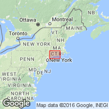
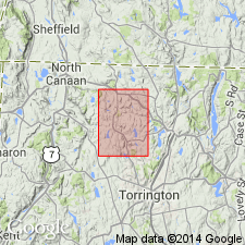
Named for Canaan Mountain in town of Canaan, Litchfield Co., northwestern CT. Consists of predominantly schist composed of quartz, oligoclase or andesine, biotite, garnet, or sillimanite. Age is pre-Triassic.
Source: GNU records (USGS DDS-6; Reston GNULEX).

- Usage in publication:
-
- Canaan Mountain Schist*
- Modifications:
-
- Areal extent
- Age modified
- AAPG geologic province:
-
- New England province
Summary:
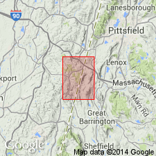
Canaan Mountain Schist of Rodgers (1959) used in small inset map showing relationship of State Line quad to regional geology. Canaan Mountain Schist doesn't occur in State Line quad, but is shown southeast of there on June Mountain in MA and on Canaan Mountain in CT. Age is changed to Precambrian and (or) Cambrian and (or) Ordovician. [Although a USGS report, name still not adopted for USGS use; thus the phrasing "of Rodgers (1959)," which refers to the belatedly published map explanation of the 1956 preliminary State geologic map.]
Source: GNU records (USGS DDS-6; Reston GNULEX).

- Usage in publication:
-
- Canaan Mountain Formation*
- Modifications:
-
- Revised
- Age modified
- AAPG geologic province:
-
- New England province
Summary:
Revised as Canaan Mountain Formation to accommodate the wide range of arenaceous, pelitic, and volcaniclastic rocks present in the unit. Age changed to late Precambrian(?) to Early Cambrian based on structural and stratigraphic interpretations. Canaan Mountain is part of a series of lithofacies (Dalton, Everett, Canaan Mountain, and Waramaug Formations) that were telescoped into present positions by Paleozoic thrust faults.
Source: GNU records (USGS DDS-6; Reston GNULEX).

- Usage in publication:
-
- Canaan Mountain Formation*
- Modifications:
-
- Areal extent
- AAPG geologic province:
-
- New England province
Summary:
Canaan Mountain Formation. Rusty-weathering, coarse garnet schist and feldspathic schist. Age is Proterozoic Z and [Early Cambrian].
Notable exposures in Canaan area, east of Berkshire Highlands, Taconic-Berkshire zone, Litchfield Co., CT.
[Misprint: stratigraphic range shown as Lower Ordovician and Proterozoic Z; should be Lower Cambrian and Proterozoic Z.]
Source: Publication.

- Usage in publication:
-
- Canaan Mountain Schist*
- Modifications:
-
- Overview
- AAPG geologic province:
-
- New England province
Summary:
Used as Canaan Mountain Schist of Cambrian(?) age.
Source: GNU records (USGS DDS-6; Reston GNULEX).
For more information, please contact Nancy Stamm, Geologic Names Committee Secretary.
Asterisk (*) indicates published by U.S. Geological Survey authors.
"No current usage" (†) implies that a name has been abandoned or has fallen into disuse. Former usage and, if known, replacement name given in parentheses ( ).
Slash (/) indicates name conflicts with nomenclatural guidelines (CSN, 1933; ACSN, 1961, 1970; NACSN, 1983, 2005, 2021). May be explained within brackets ([ ]).

