The National Geologic Map Database is migrating to a new infrastructure. We apologize for any service disruptions during this process.
|
|---|


- Usage in publication:
-
- Campagrande formation
- Modifications:
-
- Original reference
- Dominant lithology:
-
- Limestone
- Conglomerate
- AAPG geologic province:
-
- Permian basin
Summary:
Pg. 47, geol. map. Campagrande formation of Fredericksburg group. Limestone conglomerate, 25 feet thick, overlain by 350 feet of gray limestone, generally massive but locally containing nonpersistent thin-bedded limestone grading into shale. Basal formation of Fredericksburg group. Underlies Cox formation and unconformably overlies Hueco formation [Pennsylvanian] in central part of Finlay Mountains. Age is Early Cretaceous (Comanche).
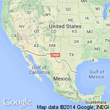
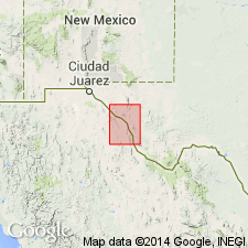
Named from Campagrande Draw, in Finlay Mountains, El Paso Co. [now in Hudspeth Co.], western TX.
Source: US geologic names lexicon (USGS Bull. 896, p. 324-325).
- Usage in publication:
-
- Campagrande formation
- Modifications:
-
- Revised
- AAPG geologic province:
-
- Permian basin
Summary:
Transferred this formation to Trinity group. Age is Early Cretaceous (Comanche).
Source: US geologic names lexicon (USGS Bull. 896, p. 324-325).
- Usage in publication:
-
- Campagrande limestone
- Modifications:
-
- Revised
- Dominant lithology:
-
- Limestone
- AAPG geologic province:
-
- Permian basin
Summary:
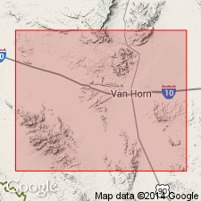
King, P.B., 1953, IN King, P.B., and Flawn, P.T., Univ. Texas Bur. Econ. Geol. Pub., no. 5301, p. 99-100, pls. 1, 3. Referred to as Campagrande limestone. In Van Horn area, made up of several beds of massive ledge-making light-gray limestone, in part sandy or conglomeratic, and of nodular limestone and marl; at base is conglomerate containing chert and limestone fragments largely derived from the Hueco limestone. Thickness in Streeruwitz Hills 100 to 140 feet; in other areas 30 to 60 feet. Underlies Cox sandstone. Age is Early Cretaceous (Comanche).
Source: US geologic names lexicon (USGS Bull. 896, p. 324-325).
For more information, please contact Nancy Stamm, Geologic Names Committee Secretary.
Asterisk (*) indicates published by U.S. Geological Survey authors.
"No current usage" (†) implies that a name has been abandoned or has fallen into disuse. Former usage and, if known, replacement name given in parentheses ( ).
Slash (/) indicates name conflicts with nomenclatural guidelines (CSN, 1933; ACSN, 1961, 1970; NACSN, 1983, 2005, 2021). May be explained within brackets ([ ]).