The National Geologic Map Database is migrating to a new infrastructure. We apologize for any service disruptions during this process.
|
|---|


- Usage in publication:
-
- Camp Springs conglomerate
- Modifications:
-
- Original reference
- Dominant lithology:
-
- Conglomerate
- AAPG geologic province:
-
- Permian basin
Summary:
Pg. 16-17. Camp Springs conglomerate. Basal formation of Triassic in area mapped [northwestern Texas (Coke County northward to Oklahoma line)], consisting of a coarse conglomerate, brownish wherever exposed, due mainly to preponderance of brown quartz and chert pebbles. Contains much fossilized wood, in some instances whole tree trunks from 6 inches to 2 feet diameter and 6 inches to 10 feet long; also many bone fragments, especially from vertebrae of reptiles. Rests on Double Mountain group with slight angular unconformity. Age is Triassic.
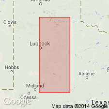
Best exposed at Camp Springs, near center of east line of Scurry Co., northwestern TX.
Source: US geologic names lexicon (USGS Bull. 896, p. 327).
For more information, please contact Nancy Stamm, Geologic Names Committee Secretary.
Asterisk (*) indicates published by U.S. Geological Survey authors.
"No current usage" (†) implies that a name has been abandoned or has fallen into disuse. Former usage and, if known, replacement name given in parentheses ( ).
Slash (/) indicates name conflicts with nomenclatural guidelines (CSN, 1933; ACSN, 1961, 1970; NACSN, 1983, 2005, 2021). May be explained within brackets ([ ]).