The National Geologic Map Database is migrating to a new infrastructure. We apologize for any service disruptions during this process.
|
|---|


- Usage in publication:
-
- "dikes of Calico Peak porphyry"
- "porphyry of Calico Peak and vicinity"
- Modifications:
-
- Areal extent
- AAPG geologic province:
-
- Paradox basin
Summary:
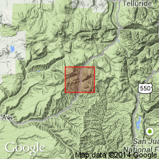
Plate 22, map of Rico Mountains. "dikes of Calico Peak porphyry." [Text heading is "porphyry of Calico Peak and vicinity."] Age is Tertiary.
Source: US geologic names lexicon (USGS Bull. 896, p. 318).
- Usage in publication:
-
- "dikes of Calico Peak porphyry"
- Modifications:
-
- Principal reference
- Dominant lithology:
-
- Porphyry
- AAPG geologic province:
-
- Paradox basin
Summary:
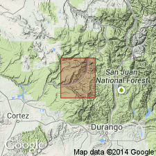
[Credits Whitman Cross, A.C. Spencer, and F.L. Ransome.] "Dikes of Calico Peak porphyry" occur on north slope and elsewhere in vicinity of Calico Peak [about 4 miles northwest of Rico] and in a sheetlike body in Dakota sandstone at head of Priest Gulch. Is a monzonite porphyry characterized by large orthoclase crystals. "Calico Peak porphyry alunitized" (a porphyry changed by solfataric action into a mass consisting chiefly of alunite) forms cone of Calico Peak. Age is Tertiary.
Source: US geologic names lexicon (USGS Bull. 896, p. 318).
- Usage in publication:
-
- Calico Peak porphyry*
- Modifications:
-
- Overview
- AAPG geologic province:
-
- Paradox basin
Summary:
[Calico Peak porphyry adopted by the USGS.]
Source: US geologic names lexicon (USGS Bull. 896, p. 318).
For more information, please contact Nancy Stamm, Geologic Names Committee Secretary.
Asterisk (*) indicates published by U.S. Geological Survey authors.
"No current usage" (†) implies that a name has been abandoned or has fallen into disuse. Former usage and, if known, replacement name given in parentheses ( ).
Slash (/) indicates name conflicts with nomenclatural guidelines (CSN, 1933; ACSN, 1961, 1970; NACSN, 1983, 2005, 2021). May be explained within brackets ([ ]).