

- Usage in publication:
-
- Caledonia conglomerate
- Modifications:
-
- Original reference
Summary:
Pg. 576, 580, 588, 593, 612, and 957. Is conglomerate No. 8 [Bohemia conglomerate], top formation of Bohemia Range group.
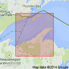
Probably named from exposures near old Caledonia mine, Ontonagon Co., Upper Peninsula, northwestern MI.
Source: US geologic names lexicon (USGS Bull. 896, p. 316).
For more information, please contact Nancy Stamm, Geologic Names Committee Secretary.
Asterisk (*) indicates published by U.S. Geological Survey authors.
"No current usage" (†) implies that a name has been abandoned or has fallen into disuse. Former usage and, if known, replacement name given in parentheses ( ).
Slash (/) indicates name conflicts with nomenclatural guidelines (CSN, 1933; ACSN, 1961, 1970; NACSN, 1983, 2005, 2021). May be explained within brackets ([ ]).