- Usage in publication:
-
- Cabresto metaquartzite
- Modifications:
-
- Named
- Dominant lithology:
-
- Quartzite
- AAPG geologic province:
-
- San Luis basin
Summary:
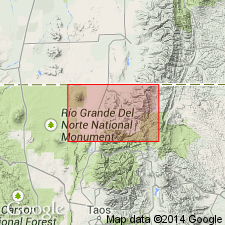
Named for exposures along Cabresto Canyon, T29N, R14E, along the south edge of the Costilla quad, Taos Co., NM in the San Luis basin. No type locality designated. The quartzite is gray to cream, usually in 2-10 ft layers of coarsely crystal line, glassy to milky white quartz, and is 200-1,000+ ft thick. The quartzite contains 85-95 percent quartz, 0-10 percent sillimanite and kyanite, 2-10 percent muscovite, and 1-3 percent magnetite. Overlain and underlain by schist, gneiss, and migmatite. Assigned to the Precambrian.
Source: GNU records (USGS DDS-6; Denver GNULEX).
For more information, please contact Nancy Stamm, Geologic Names Committee Secretary.
Asterisk (*) indicates published by U.S. Geological Survey authors.
"No current usage" (†) implies that a name has been abandoned or has fallen into disuse. Former usage and, if known, replacement name given in parentheses ( ).
Slash (/) indicates name conflicts with nomenclatural guidelines (CSN, 1933; ACSN, 1961, 1970; NACSN, 1983, 2005, 2021). May be explained within brackets ([ ]).

