

- Usage in publication:
-
- Cable Canyon sandstone
- Modifications:
-
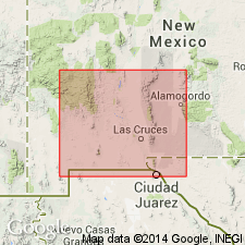
- Areal extent
- AAPG geologic province:
-
- Orogrande basin
Summary:
Pg. 2201 (table). Cable Canyon sandstone of Montoya group. On table only. Thickness from fraction of a foot to 50 feet. Underlies Jornada limestone (new) of Montoya group; overlies Bat Cave limestone (new) of El Paso group. Age is Late Ordovician.
Source: US geologic names lexicon (USGS Bull. 1200, p. 567); supplemental information from GNU records (USGS DDS-6; Denver GNULEX).
- Usage in publication:
-
- Cable Canyon sandstone
- Modifications:
-
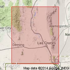
- Principal reference
- Dominant lithology:
-
- Sandstone
- AAPG geologic province:
-
- Orogrande basin
Summary:
Pg. 57-59, fig. 4, pl. 4B. Cable Canyon sandstone of Montoya group. Coarse-grained granulitic sandstone, medium gray on fresh exposure and contains grains of white, gray, pale-rose, smoky, and blue-gray quartz, gray chert, and dolomite. Texture ranges from well-sorted medium-grained sand to unsorted small-pebble and granule conglomerate. Latter texture more characteristic. It is everywhere one single bed, 17 to 35 feet in thickness. Its appearance at a distance is always as a dark band above the light-colored cliffs of Bat Cave formation. Conformably underlies Upham dolomite (new). Age is Late Ordovician (Cincinnatian). Type locality and derivation of name given.
Type locality (Cable Canyon section): on north side of canyon [Flordillo Canyon] opposite Sierrite Mine, in T. 16 S., R. 4 W., [approx. Lat. 32 deg. 55 min. 36 sec. N., Long. 107 deg. 13 min. 42 sec. W., Apache Gap 7.5-min quadrangle], Caballo Mountains, Sierra Co., southwestern NM. Named from station along [Atchison, Topeka, and] Santa Fe RR to east of mountains in Jornada del Muerto. [Additional locality information from USGS historical topographic map collection TopoView, accessed March 31, 2014; see also Seager and Mack, 2004, 2005.]
Source: Publication; US geologic names lexicon (USGS Bull. 1200, p. 567).
- Usage in publication:
-
- Cable Canyon Member
- Modifications:
-
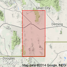
- Areal extent
- AAPG geologic province:
-
- Pedregosa basin
Summary:
Is the basal member of the Montoya Dolomite. Was studied in detail only in Mescal Canyon, where a section 16 ft thick was measured and described. Section is in NE1/4 SE1/4 sec 29, T30S, R15W, Hidalgo Co, Pedregosa basin, NM. Disconformably overlies Bat Cave Member of El Paso Formation. Underlies Upham Member of Montoya. Thicknesses of 13 and 23 ft reported. Assigned to the Champlainian Series of the Ordovician.
Source: GNU records (USGS DDS-6; Denver GNULEX).

- Usage in publication:
-
- Cable Canyon Sandstone*
- Modifications:
-
- Mapped 1:24k
- Dominant lithology:
-
- Sandstone
- Dolomite
- AAPG geologic province:
-
- Pedregosa basin
Summary:
Cable Canyon Sandstone, basal formation of Montoya Group. Mapped in Big Hatchet Mountains, Hidalgo County, southwestern New Mexico. Brownish-gray, chiefly sandstone and some thin interbedded dolomite. Quartz sand grains are rounded, fine to medium coarse, and frosted; dolomite matrix. Thickness about 16 feet (5 m). Underlies Upham Dolomite (Middle Ordovician) of Montoya Group. Disconformably overlies El Paso Formation (Lower Ordovician). Age is Middle Ordovician.
Source: Publication.
For more information, please contact Nancy Stamm, Geologic Names Committee Secretary.
Asterisk (*) indicates published by U.S. Geological Survey authors.
"No current usage" (†) implies that a name has been abandoned or has fallen into disuse. Former usage and, if known, replacement name given in parentheses ( ).
Slash (/) indicates name conflicts with nomenclatural guidelines (CSN, 1933; ACSN, 1961, 1970; NACSN, 1983, 2005, 2021). May be explained within brackets ([ ]).