The National Geologic Map Database is migrating to a new infrastructure. We apologize for any service disruptions during this process.
|
|---|


- Usage in publication:
-
- Cabin shale*
- Modifications:
-
- Original reference
- Dominant lithology:
-
- Shale
- AAPG geologic province:
-
- Great Basin province
Summary:
Pg. 421-432. Cabin shale. Dominantly dark green or khaki-colored shale, locally calcareous. Sandy laminae abundant near top. Thickness 510 feet. Grades rather abruptly into overlying Busby quartzite. Is Lower Cambrian. Overlies Prospect Mountain quartzite.
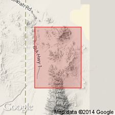
Named from exposures in Cabin Gulch, south of North Pass Canyon, [in T. 9 S., R. 18 W.], Gold Hill district, Gold Hill 15-min quadrangle, Tooele Co., western UT.
[See also Nolan's USGS Prof. Paper 177, 1935.]
Source: US geologic names lexicon (USGS Bull. 896, p. 309).
- Usage in publication:
-
- Cabin shale*
- Modifications:
-
- Areal extent
- AAPG geologic province:
-
- Great Basin province
Summary:
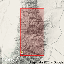
Unit found in Cabin Gulch between North Pass and Sheep Canyons. Crops out as narrow band above Prospect Mountain quartzite on east side of both Deep Creek Mountains and Dutch Mountain. Composed of dark-green to khaki-colored shale with little sandy material and almost no calcium carbonate. Weathered surfaces are lighter in color. Slaty cleavage is developed in much of formation. Section measured on ridge south of Sheep Canyon is 493 ft thick and on north side of Cabin Gulch is 530 ft thick. Lower contact with Prospect Mountain quartzite is sharp. Contact with overlying Busby quartzite is not well defined. Age of Early Cambrian is based on mesonacid trilobite [C.E. Resser]. Exact correlation is difficult to determine. Fossil collections from shale zones in other areas in UT and NV indicate lack of contemporaneity of deposition. For this reason, local name Cabin shale has been used instead of Pioche or Ophir shale which are widely used elsewhere.
Source: GNU records (USGS DDS-6; Menlo GNULEX).
- Usage in publication:
-
- Cabin shale†
- Modifications:
-
- Abandoned
- AAPG geologic province:
-
- Great Basin province
Summary:
Nolan's (1930) "Cabin Shale" is lithologic equivalent of Pioche shale of Walcott (1908). Name Pioche shale has been used in "every locality in western Utah and eastern Nevada except Deep Creek Mountains, and the writer has therefore dropped the name Cabin in favor of Pioche, which has priority", p.1066.
Source: GNU records (USGS DDS-6; Menlo GNULEX).
- Usage in publication:
-
- Cabin shale*
- Modifications:
-
- Areal extent
- AAPG geologic province:
-
- Great Basin province
Summary:
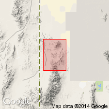
Geographically extended east from Gold Hill (Nolan, 1935) and Drum Mountains (Crittenden, Straczek, Roberts, 1961). Exposed on east side Dugway Range, Tooele Co, UT in Great Basin province. Section 135 ft measured on hill 1.2 mi southeast of Bittner Knoll where formation overlies Prospect Mountain quartzite and underlies Busby quartzite. Basal contact placed at top of, and top contact placed at base of red-weathering quartzites. Includes interbedded micaceous gray-green siltstone and fine- to medium-grained brown to gray quartzite. Up to 125 ft thick in report area. No fossils found. Assigned to the Early Cambrian. Geologic map. Stratigraphic sections.
Source: GNU records (USGS DDS-6; Denver GNULEX).
For more information, please contact Nancy Stamm, Geologic Names Committee Secretary.
Asterisk (*) indicates published by U.S. Geological Survey authors.
"No current usage" (†) implies that a name has been abandoned or has fallen into disuse. Former usage and, if known, replacement name given in parentheses ( ).
Slash (/) indicates name conflicts with nomenclatural guidelines (CSN, 1933; ACSN, 1961, 1970; NACSN, 1983, 2005, 2021). May be explained within brackets ([ ]).