- Usage in publication:
-
- By-Day Member*
- Modifications:
-
- Named
- Geochronologic dating
- Dominant lithology:
-
- Tuff
- AAPG geologic province:
-
- Sierra Nevada province
Summary:
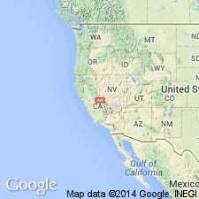
Type locality designated as exposures on north bank of By-Day Creek, 38 deg 16' 20"N, 119 deg 18' 45"W, Mono Co, CA. Is middle of three members of Eureka Valley Tuff of Stanislaus Group. Composed of densely to moderately welded, light- to dark-gray tuff. Thickness ranges from 35 to 61 m. Overlies Tollhouse Flat Member (new) (Eureka Valley Tuff). Underlies unnamed upper member (Eureka Valley Tuff). Age is late Miocene based on K-Ar determination of adjacent units that give ages of 10.7 Ma to 8.9 +/-0.2 Ma.
Source: GNU records (USGS DDS-6; Menlo GNULEX).
For more information, please contact Nancy Stamm, Geologic Names Committee Secretary.
Asterisk (*) indicates published by U.S. Geological Survey authors.
"No current usage" (†) implies that a name has been abandoned or has fallen into disuse. Former usage and, if known, replacement name given in parentheses ( ).
Slash (/) indicates name conflicts with nomenclatural guidelines (CSN, 1933; ACSN, 1961, 1970; NACSN, 1983, 2005, 2021). May be explained within brackets ([ ]).

