- Usage in publication:
-
- Butting Ram sandstone member*
- Modifications:
-
- Original reference
- Dominant lithology:
-
- Sandstone
- AAPG geologic province:
-
- Piedmont-Blue Ridge province
Summary:
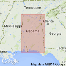
Pg. 54, 58. Butting Ram sandstone member of Talladega slate. Coarse conglomerate at bottom, overlain to west, by thick-bedded quartzite or quartzose sandstone, and to east by beds of sandstone intercalated with cleaved slate or phyllite of usual Talladega character. Thickness probably 1,000 feet. Lies about 7,500 feet higher stratigraphically than Jumbo dolomite member, and either directly or at no great distance below Jemison chert. Believed to be same as Cheaha sandstone member. Age is pre-Devonian and probably Paleozoic.
Named for fact it is believed to form Butting Ram shoals on Coosa River, on border btw. Chilton and Coosa Cos., eastern AL, about 10 mi. northeast of Clanton. Is well exposed on headwaters of Mahan Creek, 4 mi. west-southwest of Jemison, and has been closely traced from 2+/- mi east-northeast of Jemison, to Coosa River in vicinity of Butting Ram shoals.
Source: US geologic names lexicon (USGS Bull. 896, p. 305).
- Usage in publication:
-
- Butting Ram Sandstone Member
- Modifications:
-
- Revised
- AAPG geologic province:
-
- Piedmont-Blue Ridge province
Summary:
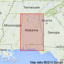
Unit referred to as Butting Ram Sandstone Member of Wash Creek Slate.
Source: GNU records (USGS DDS-6; Reston GNULEX).
- Usage in publication:
-
- Butting Ram Sandstone
- Modifications:
-
- Revised
- AAPG geologic province:
-
- Piedmont-Blue Ridge province
Summary:
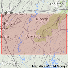
Butting Ram Sandstone assigned to Talladega Group. Consists predominantly of light gray quartzite. Conformably underlies Jemison Chert; conformably overlies Lay Dam Formation. Contains Devonian fossils.
Source: GNU records (USGS DDS-6; Reston GNULEX).
- Usage in publication:
-
- Butting Ram Quartzite
- Modifications:
-
- Revised
- AAPG geologic province:
-
- Piedmont-Blue Ridge province
Summary:
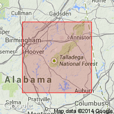
Unit referred to as Butting Ram Quartzite of Talladega Group. Thickness is variable; maximum of 850 m near Coastal Plain overlap in Chilton Co. Fossils suggest Devonian age, but not definitive.
Source: GNU records (USGS DDS-6; Reston GNULEX).

- Usage in publication:
-
- Butting Ram Sandstone*
- Modifications:
-
- Revised
- AAPG geologic province:
-
- Piedmont-Blue Ridge province
Summary:
The Butting Ram Sandstone Member is revised as the Butting Ram Sandstone of the Talladega Group in the Talladega thrust slice of the Rome thrust sheet in northern AL. Overlies the Lay Dam Formation and unconformably underlies the Jemison Chert. Age is Early and Middle Devonian.
Source: GNU records (USGS DDS-6; Reston GNULEX).
- Usage in publication:
-
- Butting Ram Sandstone
- Modifications:
-
- Overview
- AAPG geologic province:
-
- Piedmont-Blue Ridge province
Summary:
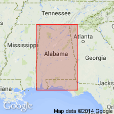
Butting Ram Sandstone of Talladega Group is a white to light-bluish-gray medium- to coarse-grained, locally conglomeratic, thick-bedded quartzitic sandstone. Commonly conglomeratic in the basal part. Contacts of the Butting Ram with the underlying Lay Dam Formation and the overlying Jemison Chert are gradational. Possible Devonian fossils from upper metasiltstone. Age given as Silurian(?) to Devonian(?).
Source: GNU records (USGS DDS-6; Reston GNULEX).
For more information, please contact Nancy Stamm, Geologic Names Committee Secretary.
Asterisk (*) indicates published by U.S. Geological Survey authors.
"No current usage" (†) implies that a name has been abandoned or has fallen into disuse. Former usage and, if known, replacement name given in parentheses ( ).
Slash (/) indicates name conflicts with nomenclatural guidelines (CSN, 1933; ACSN, 1961, 1970; NACSN, 1983, 2005, 2021). May be explained within brackets ([ ]).

