

- Usage in publication:
-
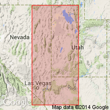
- Butte Mountain formation
- Modifications:
-
- Incidental mention
- AAPG geologic province:
-
- Great Basin province
Summary:
Butte Mountain formation. Incidental mention in stratigraphic interpretation of Pennsylvanian-Permian systems of eastern Great Basin. Subsidence continued, accompanied by deposition of Kaibab, Butte Mountain, Phosphoria, and Gerster formations, until latest Guadalupian times, when westerly positives once again fed minor amounts of chert clastics east and south into western part of Phosphoria-Gerster deposition basin in Nevada. Age is Permian. [Bissell, 1962 (AAPG Symp. Penn. Sys. corr. chart and secs.) considered the Butte Mountain to be Middle Pennsylvanian (Desmoinesian).]
Type locality and origin of name not stated. Present in eastern Nevada and western Utah.
Source: US geologic names lexicon (USGS Bull. 1200, p. 557-558); GNC index card files (USGS-Menlo).
For more information, please contact Nancy Stamm, Geologic Names Committee Secretary.
Asterisk (*) indicates published by U.S. Geological Survey authors.
"No current usage" (†) implies that a name has been abandoned or has fallen into disuse. Former usage and, if known, replacement name given in parentheses ( ).
Slash (/) indicates name conflicts with nomenclatural guidelines (CSN, 1933; ACSN, 1961, 1970; NACSN, 1983, 2005, 2021). May be explained within brackets ([ ]).