The National Geologic Map Database is migrating to a new infrastructure. We apologize for any service disruptions during this process.
|
|---|


- Usage in publication:
-
- Burnside Lake adamellite
- Modifications:
-
- Named
- Dominant lithology:
-
- Quartz monzonite
- AAPG geologic province:
-
- Sierra Nevada province
Summary:
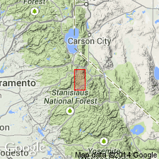
Shown in geologic sketch map of western half of Markleeville 15-min quadrangle, Alpine Co., CA, in area around Burnside Lake. [Age not stated.]
Source: GNU records (USGS DDS-6; Menlo GNULEX).

- Usage in publication:
-
- Burnside Lake Adamellite
- Modifications:
-
- Age modified
- AAPG geologic province:
-
- Sierra Nevada province
Summary:
Mapped with other granite and adamellite units as Jurassic and Cretaceous age. Name credited to Parker (1959, unpub. PhD thesis).
Source: GNU records (USGS DDS-6; Menlo GNULEX).
- Usage in publication:
-
- Burnside Lake Adamellite*
- Modifications:
-
- Age modified
- AAPG geologic province:
-
- Sierra Nevada province
Summary:
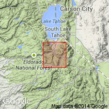
Shown on map of Freel and Dardanelles Further Planning Area, Alpine and El Dorado Counties, CA. Consists of light-pinkish-gray porphyritic biotite granite. Intrudes Echo Lake Granodiorite. Age given as Late Cretaceous.
Source: GNU records (USGS DDS-6; Menlo GNULEX).
- Usage in publication:
-
- Burnside Lake Adamellite*
- Modifications:
-
- Geochronologic dating
- AAPG geologic province:
-
- Sierra Nevada province
Summary:
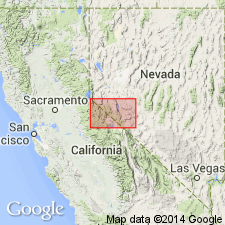
K-Ar determination on biotite from Burnside Lake Adamellite yielded 86.5 +/-0.5 Ma. Specimen collected at 38 deg 45' 28"N, 119 deg 58' 06"W; location shown on map. [Based on U.S. Geologic Time Chart, 1986, age is Late Cretaceous]
Source: GNU records (USGS DDS-6; Menlo GNULEX).
For more information, please contact Nancy Stamm, Geologic Names Committee Secretary.
Asterisk (*) indicates published by U.S. Geological Survey authors.
"No current usage" (†) implies that a name has been abandoned or has fallen into disuse. Former usage and, if known, replacement name given in parentheses ( ).
Slash (/) indicates name conflicts with nomenclatural guidelines (CSN, 1933; ACSN, 1961, 1970; NACSN, 1983, 2005, 2021). May be explained within brackets ([ ]).