- Usage in publication:
-
- Burney Basalt*
- Modifications:
-
- Named
- Dominant lithology:
-
- Basalt
- AAPG geologic province:
-
- Klamath Mountains province
Summary:
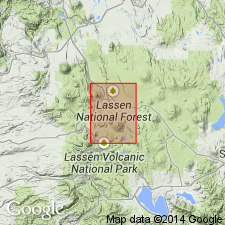
[Named] for town of Burney which is 11 mi northwest of Prospect Peak 15' quad. Type locality designated as roadcut on HWY 299, 4 mi northeast of Burney, Shasta Co, CA. Consists of dark-gray to black, moderately to highly vesicular, generally diktytaxitic, locally dense basalt flows, generally porphyritic, with olivine phenocrysts generally less than 2 mm across but in places as much as 8 mm. Most flows are pahoehoe, a few are aa. Shown on map of Prospect Peak 15' quad, Shasta and Lassen Cos, CA as early Pleistocene age. [no basis given]
Source: GNU records (USGS DDS-6; Menlo GNULEX).

- Usage in publication:
-
- Burney Basalt*
- Modifications:
-
- Areal extent
Summary:
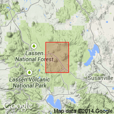
Unit geographically extended into Harvey Mountain 15' quad, Lassen Co, CA. Shown on map of quad.
Source: GNU records (USGS DDS-6; Menlo GNULEX).
For more information, please contact Nancy Stamm, Geologic Names Committee Secretary.
Asterisk (*) indicates published by U.S. Geological Survey authors.
"No current usage" (†) implies that a name has been abandoned or has fallen into disuse. Former usage and, if known, replacement name given in parentheses ( ).
Slash (/) indicates name conflicts with nomenclatural guidelines (CSN, 1933; ACSN, 1961, 1970; NACSN, 1983, 2005, 2021). May be explained within brackets ([ ]).

