The National Geologic Map Database is migrating to a new infrastructure. We apologize for any service disruptions during this process.
|
|---|


- Usage in publication:
-
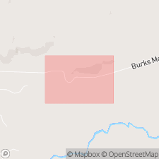
- Burks Mountain complex
- Modifications:
-
- Overview
- AAPG geologic province:
-
- Piedmont-Blue Ridge province
Summary:
Burks Mountain complex is a narrow band of elongate pods of mafic and ultramafic rocks extending over a strike-length of 20 mi from Richmond Co. and Columbia Co., GA, into SC. Unit is located within upper amphibolite grade migmatitic metamorphic rocks of the Kiokee belt in the southeastern part of the Piedmont province. Includes sepentinite, metagabbro, talc and several types of amphibolite. Complex may be a slice of the Iapetus ocean crust or possibly a layered ultramafic/mafic plutonic complex.
Source: GNU records (USGS DDS-6; Reston GNULEX).
For more information, please contact Nancy Stamm, Geologic Names Committee Secretary.
Asterisk (*) indicates published by U.S. Geological Survey authors.
"No current usage" (†) implies that a name has been abandoned or has fallen into disuse. Former usage and, if known, replacement name given in parentheses ( ).
Slash (/) indicates name conflicts with nomenclatural guidelines (CSN, 1933; ACSN, 1961, 1970; NACSN, 1983, 2005, 2021). May be explained within brackets ([ ]).